
Dry times ending abruptly We've been fortunate to have the recent dry spell. Sometimes blocky patterns work in your favor. The northeast and Atlantic Canada have been on the fire hose end of the blocking from June until mid-September. While the break from the rain has been a relief, the water tables remain very high given the fact the state has received a year's worth of rain in 8½ months. I've stated since July that we are in a perpetual state of flood watch, whether in the form of an official bulletin or not, and that isn't changing anytime soon. The set up for the weekend is clear in the graphic. A deep trough across the central part of the continent, along with blocking over the Atlantic brings a long wave frontal boundary and what is left of Philippe to the region, which will bring heavy rain and some wind along with it. Philippe is a mess The infrared satellite loop here from early Thursday morning of Philippe makes it look more like what is meteorologically known as a mesoscale convective system (MCS) than it does a tropical storm. It's disorganized due to wind shear, but it's staying together with some duct tape. Models have really struggled figuring out this one as it has been slow moving and the lack of strength has allowed it to drift further west as the week has gone on. Hurricane hunters have been running missions to try to get data to iron out the forecast, but operational ideas are still a mess as the system has its own ideas. 5 AM Thursday from NHC As Philippe moves northward and sideswipes Bermuda, it will gain in speed as the trough over the central part of the country catches it in a vacuum and drags into the region. With what glue that is holding the storm together at this point gets sheared out, it is expected to turn into a post-tropical system and into a NorEaster by the time it gets east the benchmark 40° north / 70° west point south of Cape Cod Saturday afternoon. While it is easy to focus on the storm track itself, it's the approaching trough and what it does with Philippe that will play a larger role in what happens for impacts for Maine. The general idea, with room for tweaks Friday 2 AM to Monday 8 AM - Using the European ensemble mean here to show the approaching trough as Philippe tracks northward. It is important to note here that we usually see tropical systems fizzle out as they move northward, which is true in this case to a point. Philippe loses tropical characteristics, but the remnants intensify as a sharply negative trough sets up and boomerangs the leftovers on that dinner plate towards western Quebec. For now, models are showing the phase of Philippe with the trough to come as the storm moves into the Gulf of Maine. Given Philippe's stubbornness in moving the way models think it should, it sets up a certain degree of bust potential for rainfall. My concern with this that I mentioned on Facebook is for a predecessor rain event (PRE) to occur that will drag outflow moisture from Philippe into the trough and as a result overperform on rainfall. A slow down on Phillipe reduces that possibility, and thus could bring lesser amounts of rain for western and southern areas. Like we saw with Lee, eastern areas are likely to get the brunt of this one, and that idea has been consistent all week.  The general idea of 1-2" for southern areas, with 2-3"+ elsewhere remains a distinct possibility. Localized flash flooding from run off and urban street flooding from clogged storm drains from leaf drop is potentially there as well.  We've seen stronger leaf stripping storms in the past, but this one will be strong enough to take down a fair amount of color in the peak regions over the mountains and north. Shoreline areas from Knox County and DownEast may see higher gusts in the 40s. With the remnants of Phillipe pinwheeling into western Quebec, Sunday is expected to be breezy with many areas seeing gusts from the northwest 25-35 mph with higher gusts possible for the mountains. This will bring more leaves down that didn't fall with the storm on Saturday. Stay tuned for updates on timing and fine tuning on impacts. Flash flooding can escalate quickly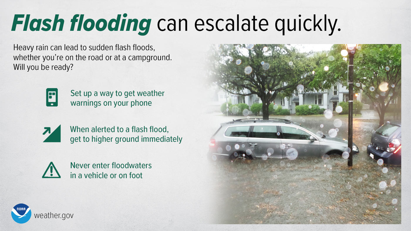 Will you be ready for sudden flash floods? Stay Weather Ready by enabling weather alerts on your phone. If flooding occurs while you’re outdoors, immediately get to higher ground, and NEVER enter flood waters in a vehicle or on foot. weather.gov/safety/flood  You may not like the weather, but I hope you like what I do, and support my efforts. Thank you! Stay updated, stay on alert, and stay safe! - Mike NOTE: The forecast information depicted on this platform is for general information purposes only for the public and is not designed or intended for commercial use. For those seeking pinpoint weather information for business operations, you should use a private sector source. For information about where to find commercial forecasters to assist your business, please message me and I will be happy to help you. |

Mike Haggett
|


