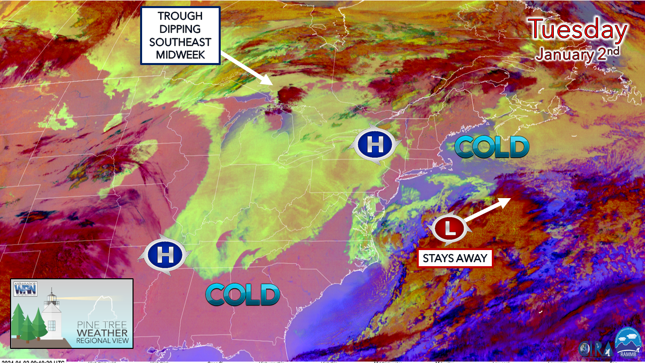
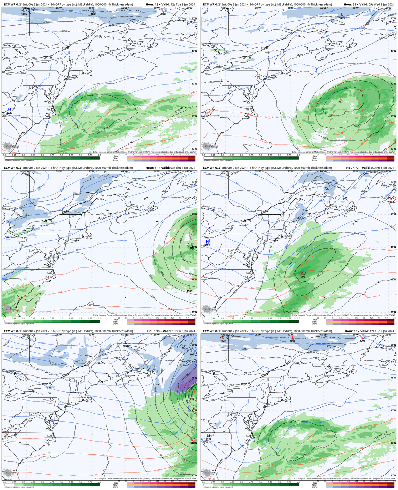
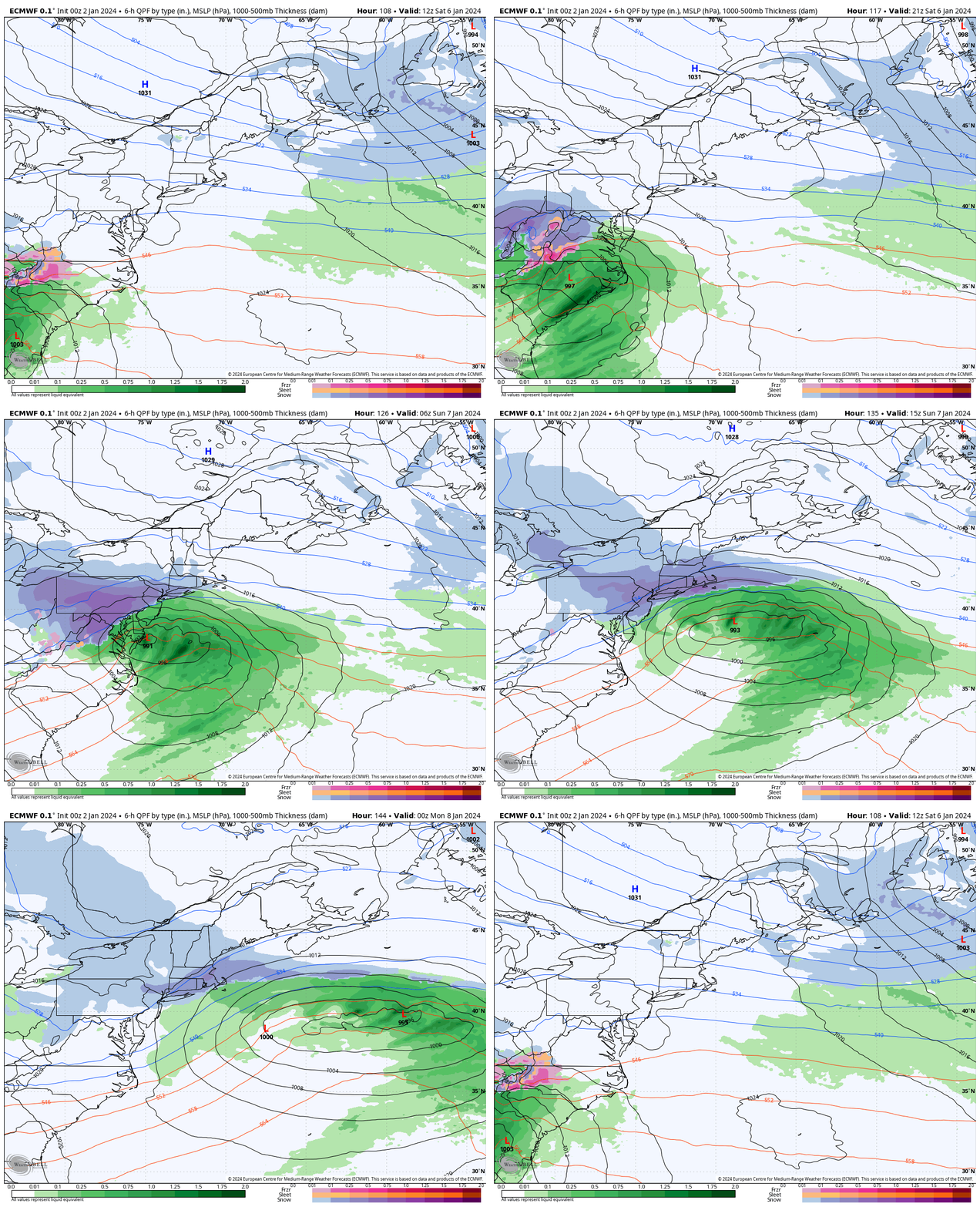
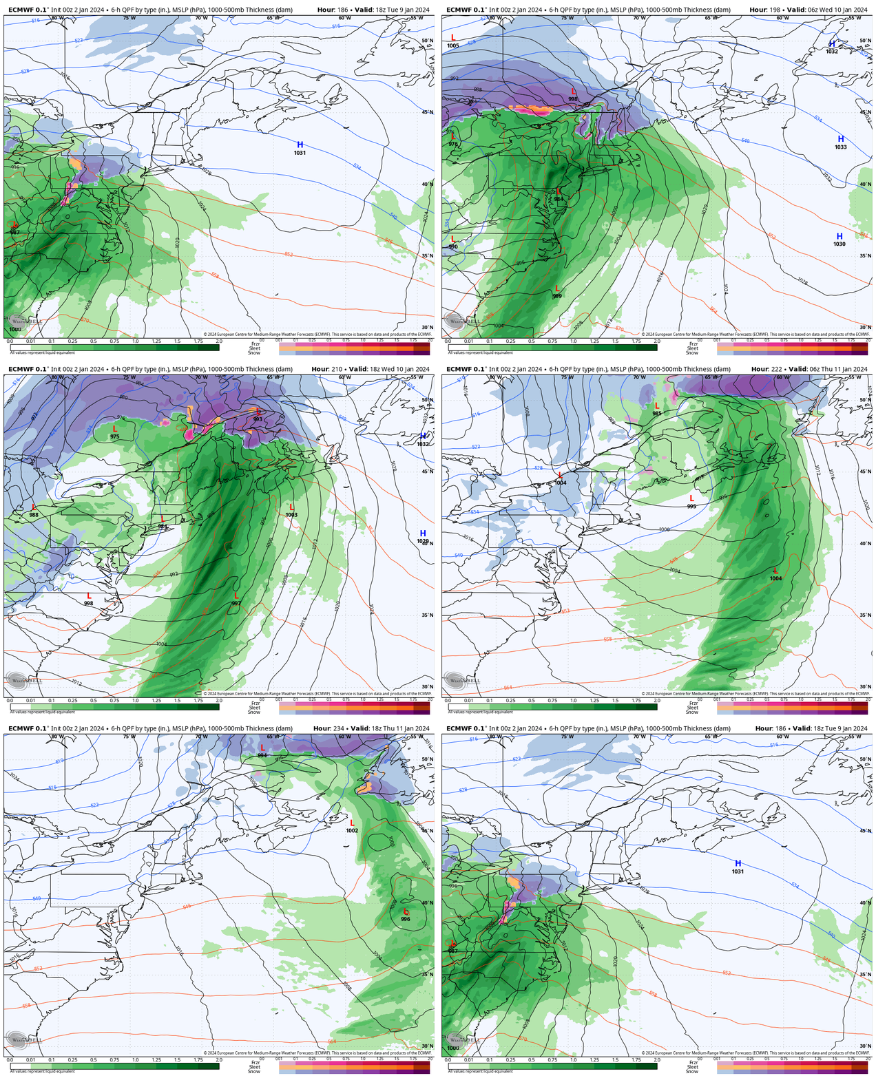
Cool is the rule through the weekendThe flip of the calendar into the new year starts off on the cool side as winter is acting as it should, other than the lack of snow around. As far as that goes, there isn't a whole lot of the white stuff in the offing through the rest of the week. The mountains may get some charity flakes as upper level disturbances pass through, but that is about it. Tuesday 7 AM to Saturday 7 AM - The region misses two storms that pass to the southeast of the area, the first Tuesday and a second on Thursday. The wave that passes through the area Thursday brings a reinforcement of cold air to the region heading into the weekend. It appears to be a bit breezy as the cold moves into the state overnight into Friday morning. Wind chill values in the -20° to -10° levels are possible in the mountains and north, with single digits above zero along the coastal plain. Snow possible SundaySaturday 7 AM to Monday 7 AM - While forecast confidence is good through Saturday, model ideas begin to stray on what happens with a potential storm on Sunday. Where there is high confidence is the cold air. Any precipitation that falls is likely to be white. Where it falls, how much of it, and when is too early to know. While the recent trend has been for offshore misses, ensembles ideas are rather intriguing over a coastal snowfall. Whether that leads to a bust or boom, stay tuned. One to watch mid next weekI don't like to get the cart too far ahead of the horse, but this idea has caught my attention. This is a very similar set up as we saw with the storm before Christmas with a deep inside runner that could bring copious amounts of precipitation and strong wind. All the models are on it. Ensemble ideas back up the operational ideas as far as potential goes. One of the key pieces of whether or not this happens is southeast of Mongolia as of Tuesday morning. It has a long way to go to get to the continent. Hopefully this is a science fiction idea, but it should be reminder to keep storm supplies well stocked as we proceed into the season, and to check the forecast frequently as the pattern is active. Thank you to Allspeed Cyclery & Snow in Portland, Downeast Aerial Photography in Rockland, Dutch Elm Golf Club in Arundel, and Sunrise Property Services in Bridgton, for partnering with Pine Tree Weather. Special thanks to all the individuals who financially contribute. I sincerely appreciate your support. Stay updated, stay on alert, and stay safe! - Mike PRINT MEDIA: Feel free to quote and cite my work here for your stories. Please give me the professional courtesy of knowing that you are referencing my material so I can read your final product and acknowledge it on my media and link it on the Who I Am page here on the website. Feel free to send me a message via the Facebook page or Twitter (X) to get my phone number if necessary. Thank you! NOTE: The forecast information depicted on this platform is for general information purposes only for the public and is not designed or intended for commercial use. For those seeking pinpoint weather information for business operations, you should use a private sector source. For information about where to find commercial forecasters to assist your business, please message me and I will be happy to help you. |
Mike Haggett
|


