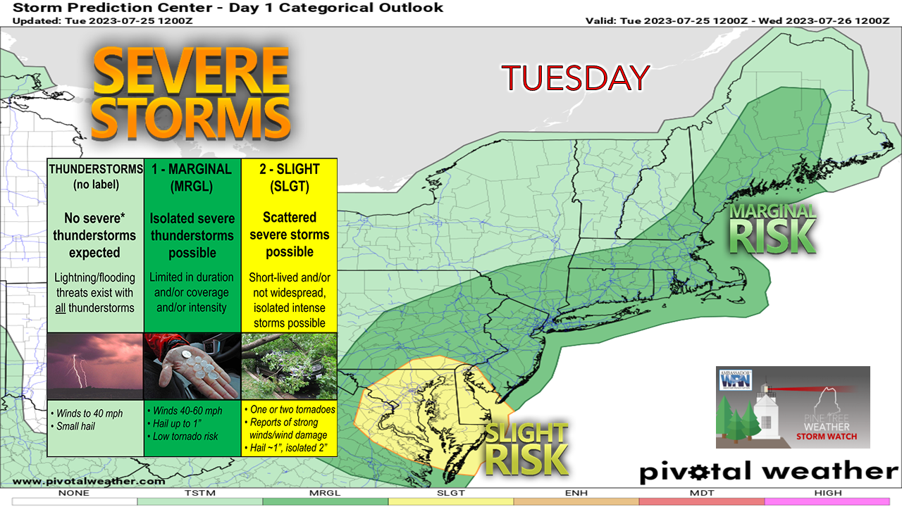
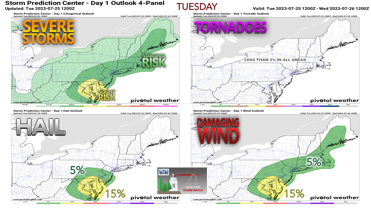
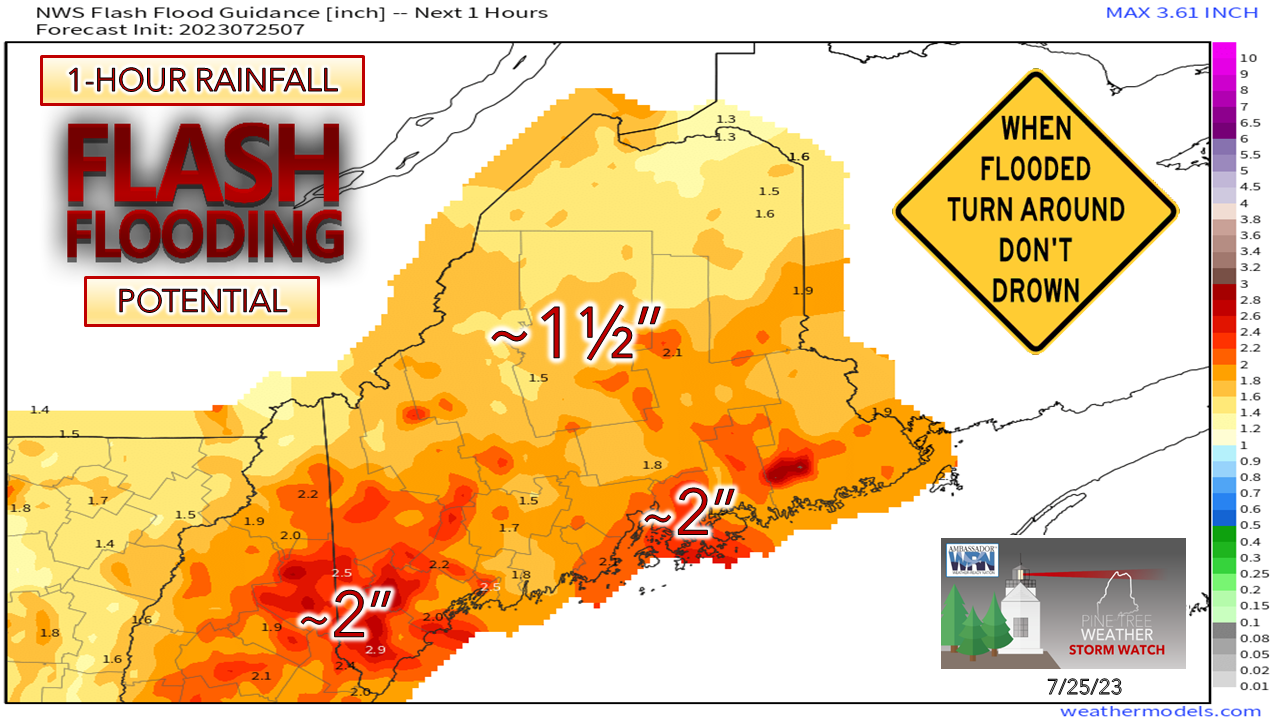
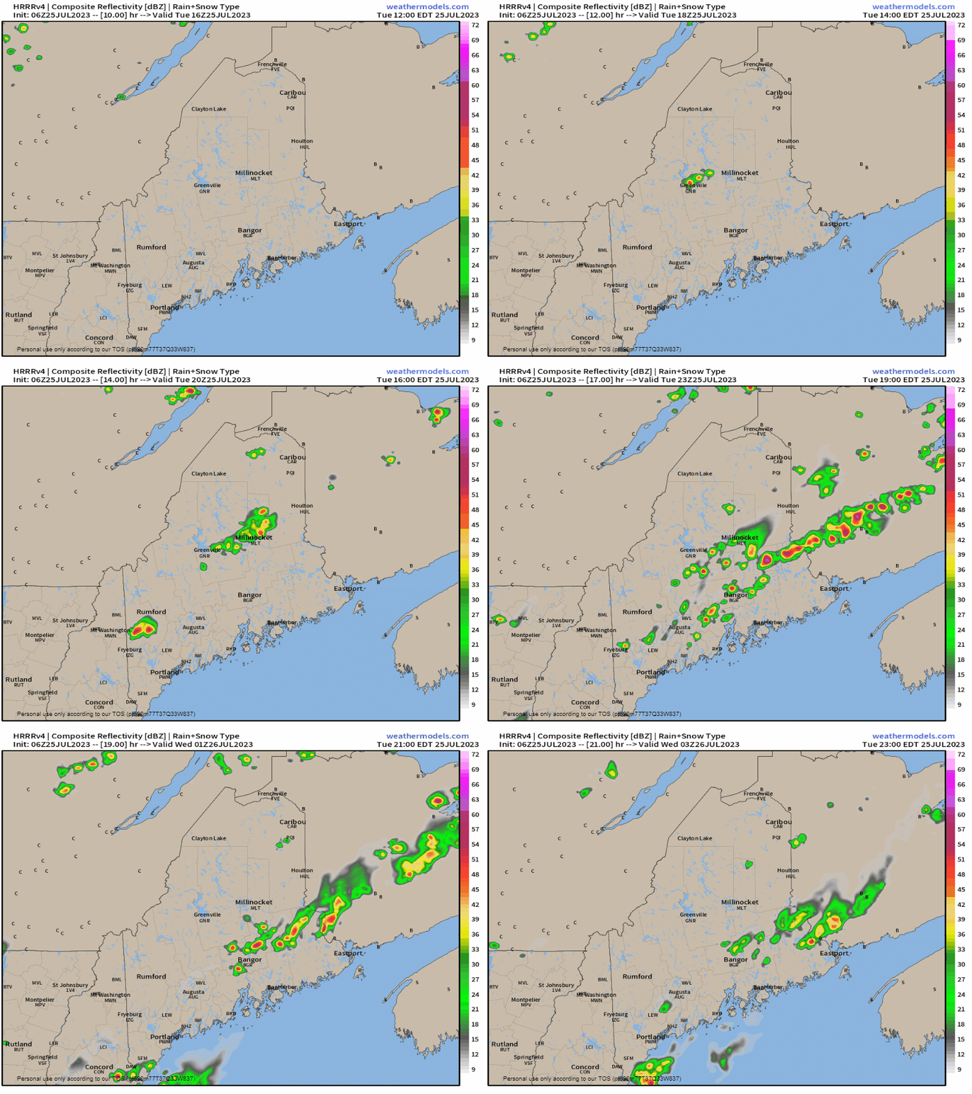
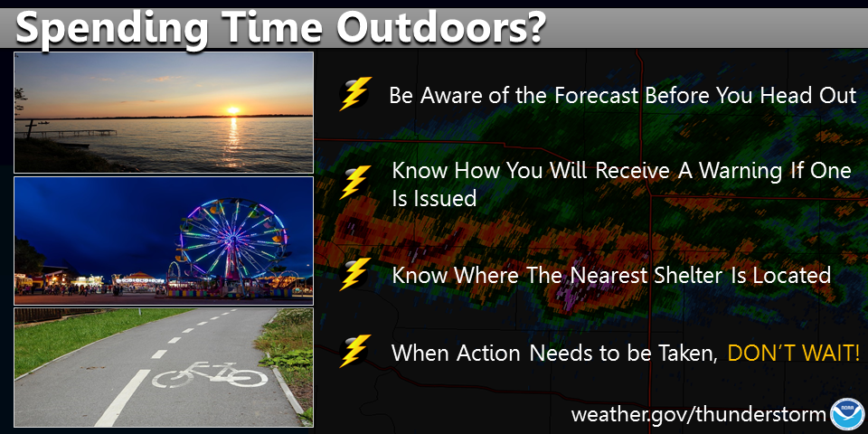
Isolated severe storm potential for the dayAn upper-level shortwave approaches the region from the northwest. With a surface high positioned south of Nova Scotia, which will help pump heat and moisture out ahead of the frontal boundary and may touch off isolated strong to severe storms from the afternoon into the evening. The main concerns with any storms that develop are damaging wind and heavy rain. Most of the I-95 corridor from Virginia up through Bangor could be affected and may impact travel by car and air. While it has been dry for much of the region for the past couple of days, the ground remains saturated over much of the state. Since the storm threat is isolated, I do not expect an official flood watch to be issued, but there is a fair bet for localized flash flood warnings to occur. Tuesday Noon to 11 PM - The main threat is in the afternoon until around 10 PM. Short term model ideas hint at the potential for training of storms, which could dump an easy 2" or more and could post a higher crooked number in isolated areas. For those headed oceanside to the beach, I don't expect any concerns there as timing of the wave crossing there may not be until evening. Low tide is in the 10 AM hour which will allow for plenty of available space. Temperatures are expected to be in the 80s for much of the region, 70s for DownEast areas. Stay on alert!Spending time outdoors? Be on the lookout for thunderstorms! Keep up with the latest NWS forecast before you head out and know how you will receive a thunderstorm warning if one is issued. Identify where the nearest shelter is located, and if the skies turn threatening, seek shelter immediately. weather.gov/safety/thunderstorm Pine Tree Weather is funded from followers like you. I would appreciate your financial support. Click here for how you can contribute. You may not like the weather, but I hope you like what I do, and support my efforts. Thank you! Stay updated, stay on alert, and stay safe! - Mike NOTE: The forecast information depicted on this platform is for general information purposes only for the public and is not designed or intended for commercial use. For those seeking pinpoint weather information for business operations, you should use a private sector source. For information about where to find commercial forecasters to assist your business, please message me and I will be happy to help you. |
Mike Haggett
|

