
|
Thanks for checking in here. My hope and prayer for each of you is that you are alright and taking this time in stride, you have the essentials that you need, and staying connected to friends and family. It's incredibly odd to drive around and see how quiet everything is away from the grocery store and the drive-thru coffee and fast food restaurants. Since I work in the commercial vehicle industry, I am still commuting to work during the week. I do not expect that to change, for the simple reason: no trucks means no toilet paper, and no food. I am picking up the phone more, participating in online video meetings to see folks. School keeps me busy as well. I am getting outside as much as I can. I find fresh air and nature to be of help. I listen to contemporary jazz music to relax the soul. I have reduced my intake of news and social media a great deal to escape the hysteria, fear, and drama going on. I have come to the realization that I can't fix or cure what is going on, and this situation is well beyond any personal control. It is what it is. We're all in the same boat. We wash our hands frequently, listen to do what is required by the government. All I can do is take care of myself, and keep moving forward. I hope you are passing the time productively, while finding peace and gratitude along the way. Please let me know how you are doing, through comments or messages. Off and on precipitation chances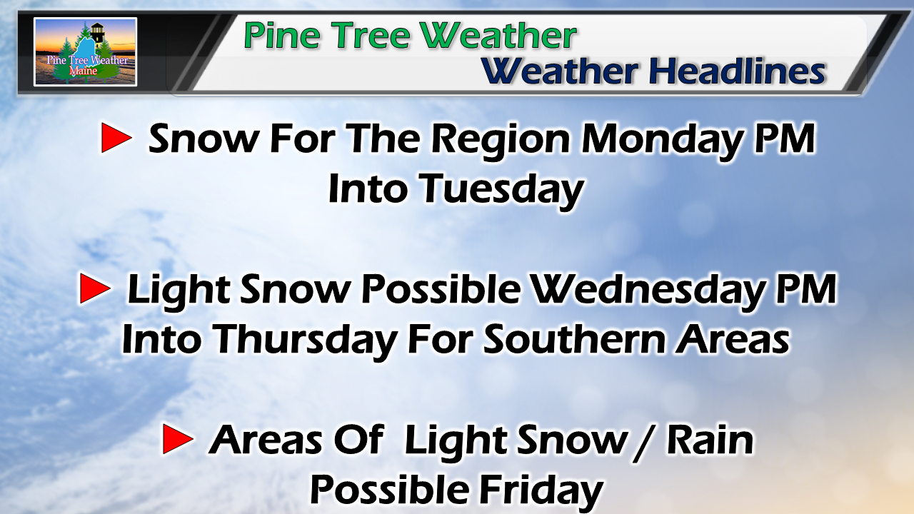 It won't be a washout of a week, just periodically annoying for those trying to get out to and receive the fresh air and exercise. Monday night / Tuesday morning appears the messiest of the week, with subtle shots of precipitation through the remainder of the week. Temperatures still appear to be above normal by-in-large, but not quite warm enough to avoid the flakes completely. Zonal flow for much of the week This chart loop shows the upper level air pattern at around 20,000 feet through the week. The real warm air stays south, the real cold air stays north. In between, short waves of troughs and ridges will bring variety to the weather pattern through Friday. Saturday sees a ridge surge in which could bring precipitation then, followed by a strong trough for Sunday. Like it has been since December, it's quick shots of warm, cold and precipitation. There is nothing major that is storm related of any concern. Slick spots Monday night into Tuesday WIth the zonal pattern, precipitation will come and go rather quickly. This event fits that criteria. With the upper low tapping into to moisture from the south, it will bring a slug of precipitation along with it. Snow accumulations will come quickly once the air column saturates Monday afternoon into the evening. Western and southern areas may deal with some greasy spots around the time of the evening commute, or just after. For most areas, this event is over by daylight Tuesday, or soon thereafter. 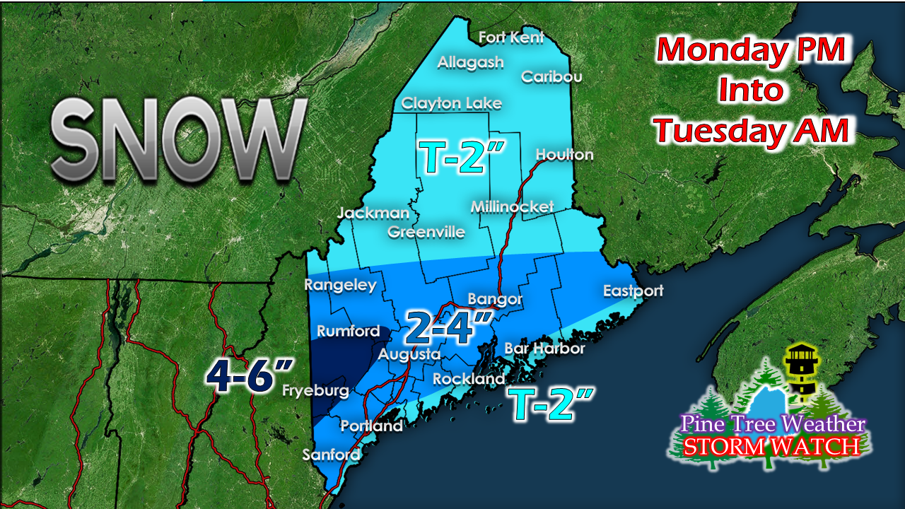 Snowfall idea presented here has been adjusted from Saturday's update. I am concerned with some heavier bands popping up which may bring a bit more snow in areas, and less in others. The closer to the coast, the slushier the snow gets, hence the reduction there. The higher elevations of the coastal plain and foothills are likely to get the higher end amounts. For most, unless you want to shovel to get outside and help with boredom, you won't need to move it. Temperatures for the Tuesday will rise above freezing everywhere with upper 30s north, 40s west and east, and 50s south. Mother Nature has her way of cleaning up her own messes this time of year. It will be breezy as the storm intensifies over the Canadian Maritimes. Wednesday will feature temperatures above freezing as well in the 30s & 40s, with less breeze. Light precipitation chances Wednesday through Friday Warm air from the south wants to work northeastward, but with the zonal flow and cold to the north, it won't get very far through the remainder of the work week. A weak trough spins up a surface low that brings another chance for light snow for parts of the region Wednesday night into Thursday. An inverted trough set up on it's heels -may- bring some light snow or rain activity to the area on Friday, but it is a low chance for now.
Feel free to use the many pages available on this website for many types of forecasts on rainfall, snowfall, marine, longer range CPC outlooks and maps. Thank you as always for your support! ► ► For the latest official forecasts, bulletins and advisories, please check in with the National Weather Service in Gray for western and southern areas, or Caribou for northern and eastern parts of Maine. Always stay weather aware! - Mike |

Mike Haggett
|


