
|
It's time to change things up a bit here. You will see a new format implemented with this update that I am looking for feedback on. The idea here is that it simplifies the workload for me, yet still gives you the information that you look to me to get. A five-day forecast is now at the end of the post with details. Your constructive feedback is always appreciated. The idea all along here is that you may or may not like the weather, but the hope is you'll like the way it is presented to you, without hype and drama, which is factual and to the point. Your likes on Twitter and Facebook are your way of saying I gave you good information, not because you like what may or may not happen. I would appreciate that. Fujiwhara effect set up through WednesdayTo be clear here, the Fujiwhara effect is not the aftermath of bad sushi and sake during a long night out. While this weather phenomenon is technically a tropical storm scenario, it can and does happen with synoptic situations like this with strong blocking as what is going on to the northeast near Greenland now. In this case here it is between an upper-low and a surface low, which is shown below: 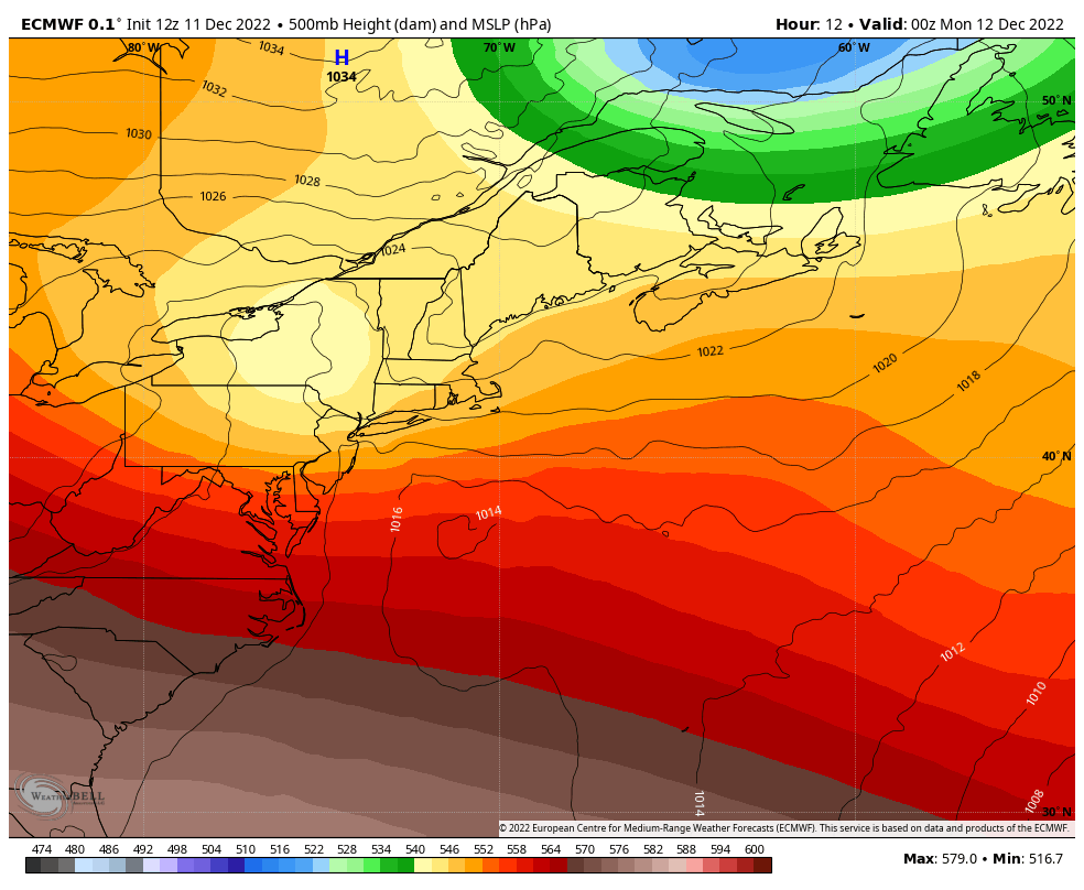 Sunday 7 PM to Wednesday 7 PM - I shared this on the Facebook page Saturday. The Fujiwhara effect is basically a boomerang effect, which is the easiest way to define it. The upper low (blue) and the surface low noted with the "L" go for a spin on the atmospheric Tilt-a-Whirl. The upper-low really wants to capture the surface low, but the surface low gets caught in the perimeter and doesn't give in until Wednesday. 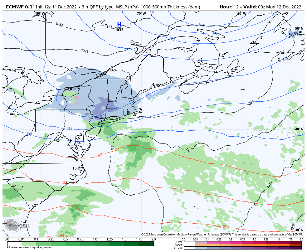 Looking at this in the same timeframe with the forecast surface map the main view, the Canadian Maritimes get a good storm out of it, where Maine is just a bit too far west to get much in the way of precipitation. What it has a good chance of doing is bringing snow showers with the risk of snow squalls to the north on Tuesday. The wind picks up on Wednesday and brings the chance for precipitation to all areas but the south as the upper-low finally catches the surface low and takes it east. Northern areas may pick up an inch or two of snow on Wednesday. Eastern and MidCoast areas may see snow showers and/or a light wintry mix and/or light rain Wednesday afternoon. Travel impacts are possible depending on the precipitation type and duration of it, with updates to come on that. The region gets a break on Thursday, before the next storm comes. Clarity to come on Friday / Saturday potential soon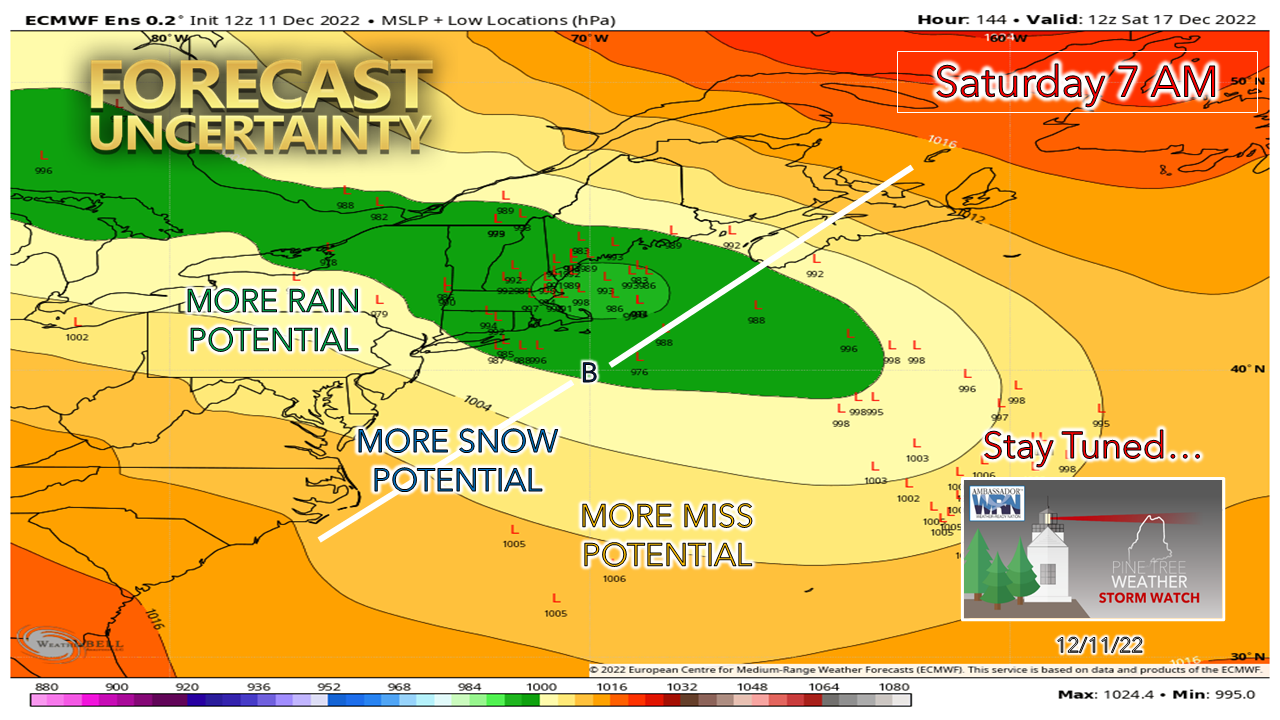 This storm has been kicking around like a can in a hurricane for several days now. As I mentioned on Facebook Saturday there are three key pieces to this: the longwave frontal boundary moving onshore over the Pacific coast that develops into a strong upper-low is the driving feature; the kicker of cold streaming in from northeastern Alaska & Yukon Territories that will help steer it, and influence of the blocking to the northeast over Greenland. I mentioned last week and in periodic updates on Twitter and Facebook about the idea of a coastal hugger situation and after five days into that thought I still see no reason to change that thinking as of yet. Until guidance gets a solid read on the developing upper-low, the kicker energy to the north and what impact the blocking is going to have, there is still a lot up in the air (pun intended) with this and more questions than answers as of Sunday evening. Seeing that it is mid-December with cold air around, there will be some snow with the mountains and north likely to be the main beneficiary of it. How far south and east do the flakes fall, how much of this is pasty wet slop that could cause power outages and where is still to be determined. The answers being to come soon, with a good idea coming on Monday, and the track to be ironed out as the week unfolds. Current deficit $1,450. Your help is appreciated! Forecast outlook through FridayMONDAY Mostly Sunny Wind: N/NW 5-15 G20-30 Lows around 0 North to around 20 Southwest Coast Highs 20s North / 30s South Windchill 10s/20s TUESDAY Cloudy w/chance of Snow Showers & Squalls North /Mtns Clouds & Sun East Mostly sun south Wind: NW 5-15 G20-30 Lows in the teens for most Highs 20s North / 30s South Windchill 10s/20s WEDNESDAY Cloudy w/ chance of Snow Showers North & Mountains Northern areas may pick up 1-2" of snow, lighter amounts elsewhere Cloudy w/ chance of snow showers, wintry mix and/or rain East / MidCoast Sun & clouds South Wind: N/NW 10-20 G25-35 Lows in the teens for most Highs 30s North / near 40 south Windchill 20s/30s THURSDAY Sun & clouds Wind: NE 5-15 G20-30 Lows in the 20s for most Highs 30s North & Mountains, 40s East & South Windchill 20s/30s FRIDAY - STORM POTENTIAL Cloudy Precipitation likely. Type, timing and impacts to be ironed out Wind: E/NE 5-15 G20-30 Lows 20s North, around 30 south Highs 30s North, near 40 shorelines Windchill 10s/20s Thank you as always for your support! If you like what I do, please hit the like button on Twitter and Facebook, and please share! Stay updated, stay on alert, and stay safe! - Mike NOTE: The forecast information depicted on this platform is for general information purposes only for the public and is not designed or intended for commercial use. For those seeking pinpoint weather information for business operations, you should use a private sector source. For information about where to find commercial forecasters to assist your business, please message me and I will be happy to help you. |

Mike Haggett
|


