
Mid-summer cooling trend on tap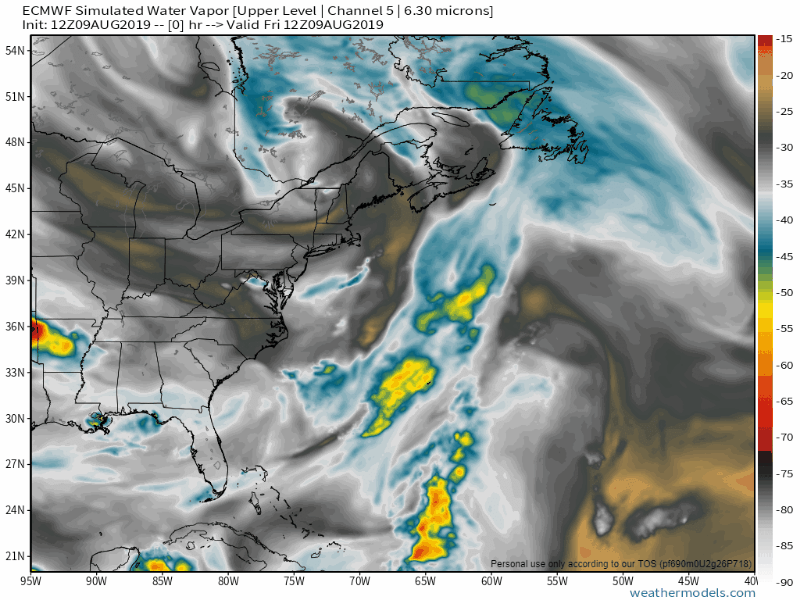 Not to cause any alarm for frozen precipitation anytime soon, but this pattern appears slightly winter-esque to me. An upper low dropping southeastward out of Quebec in January often times brings arctic cold to the region. While we won't be rushing to load the stove and grab the parka anytime soon, we'll have cooler than normal temperatures through the weekend before they modify at the start of next week. 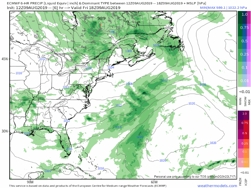 Looking at the surface map, the upper low sends repeated waves through the region. Those waves will stir up shower and thunderstorm activity at times through Saturday. 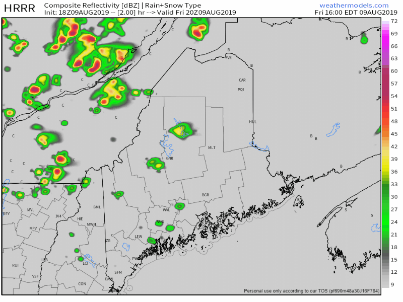 A simulated radar idea shows just that. For southern areas, I would not rule out an isolated shower or storm, but most of the action will be for the north, east and west through Saturday. Any early evening storms should fizzle out after sunset as daytime heating cools rapidly with the low dew point levels. Cooler than normal is the rule through the weekend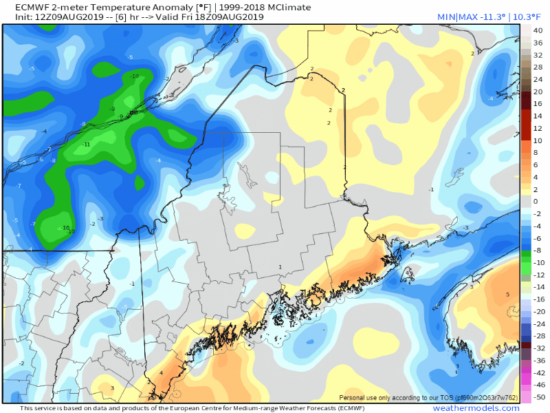 Temperature deviations from normal could vary to the teens below normal Saturday night. What this translates into is 40s and 50s at night, 60s and 70s during the day. Monday will be the warmest day of the period, and maybe the week with 70s and 80s (note the orange surge) but most of next week appears in the 60s and 70s for highs and 40s and 50s for lows by-in-large. After the most recent run of humidity, we won't be concerned with that for at least a week from what it appears now, which will give everyone's fans and air conditioners a break. With the cooler temperatures and areas of rain showers, fog may form in the valleys and around the lakes, ponds and rivers overnight Friday and Saturday, but should burn off rather quickly as the sun elevates in the morning Saturday and Sunday. Rain chances better north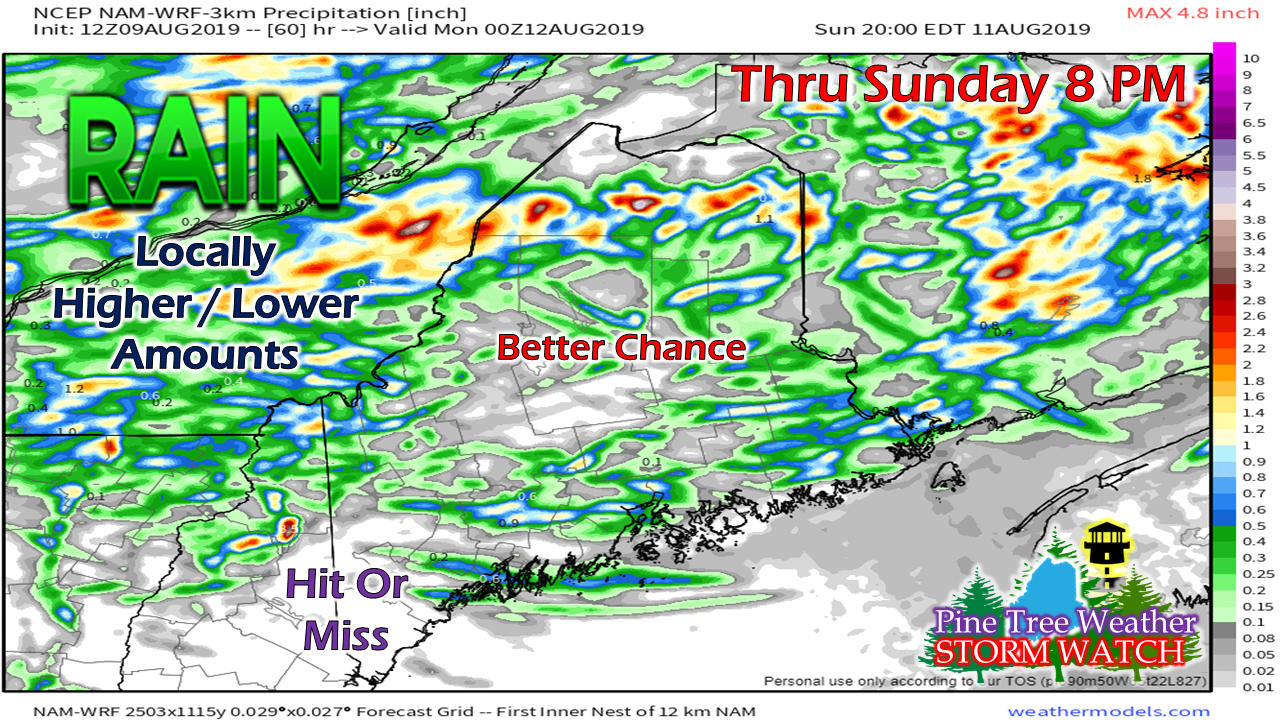 With these upper level systems, it's a bit of a crap-shoot on who gets rain and who misses it. Northern areas will be nearer to the axis of the low, and as a result have a better chance. The further south it becomes more hit or miss, but again, I can't rule out an isolated shower or storm for York County. This total also includes showers and storms for Friday.
Be advised that any storms that form are likely to have hail as the cold temperatures aloft will drop the freezing levels closer to the surface. It may have the consistency of a sleet style to it. I can't rule out isolated severe storms, but the majority of these storms may bring some wind, a quick shower and tiny hail as they work through the region. Remember... when thunder roars, head indoors! ► ► For the latest official forecasts, bulletins and advisories, please check in with the National Weather Service in Gray for western and southern areas, or Caribou for northern and eastern parts of Maine. Please consider supporting Pine Tree Weather ► ► Your financial donations are much appreciated to keep this site funded and for further development. FUNDRAISING FOR 2020 BEGINS SOON! I sincerely appreciate your support not only financially, but also in sharing my efforts with others. For more information from me, please check the Pine Tree Weather Facebook page as well as my Twitter feed. Always stay weather aware! |

Mike Haggett
|


