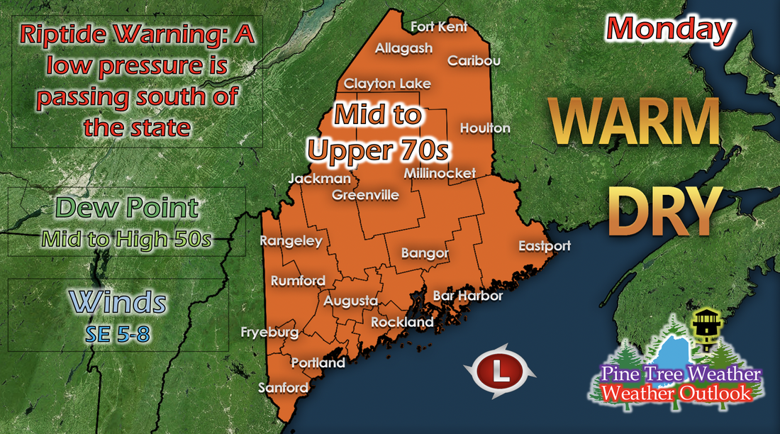
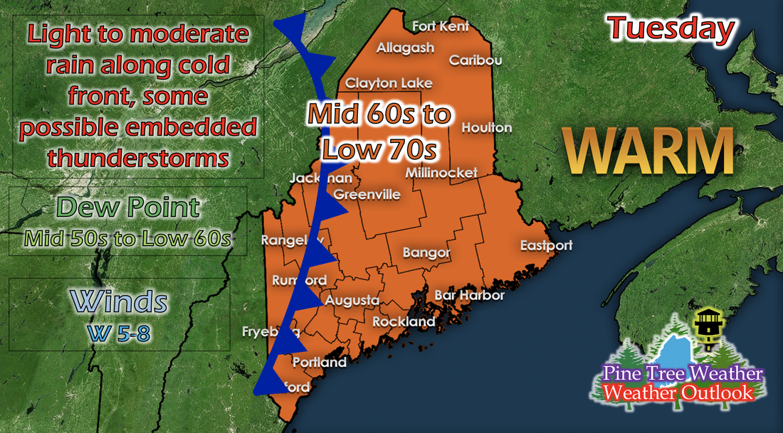
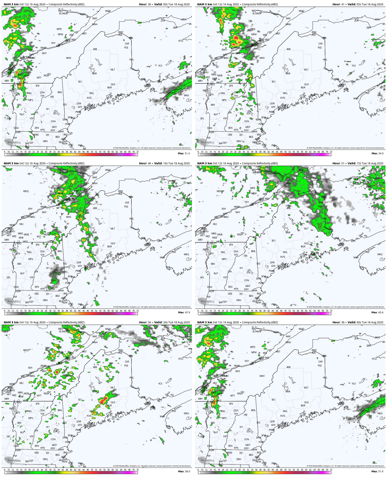
Monday: Warm and dry, high surf and riptide warning along coastThe start of the new week will be warm and dry statewide, with temperatures ranging from mid to upper 70s. Dew points still remain quite dry, ranging from mid to upper 50s state wide. As the impending low pressure system brings the cold front, temperatures are expected to drop a little, and therefore increase relative humidity a little bit, but not to an oppressive amount. A low pressure system that was once tropical is swinging through south of Maine in the Gulf of Maine. This system may bring some storms or rain at the very edge of coasts, but the main danger is potential riptides and high surf on the coasts. Tuesday: Cold front comes, bringing potential rain, storms, and slightly lower temperaturesAs the cold front passes through, temperatures drop slightly and range from mid 60s to low 70s statewide. Along the front (which arrives on the west side of the state in the morning), light to moderate rain and thunderstorms are possible throughout the day. Dew points remain ranging from mid 50s to low 60s, but since temperatures dropped a little, the air should feel a little less dry. The GIF above runs from 8 AM to 8 PM Tuesday and shows potential reflectivity from a short-range model. This particular model has a history of over-powering reflectivity a little bit. With that being said, it's a good indicator of where the rain and storms may be heading, but they'll be slightly less powerful than shown. Thank you for all your support!Alex and I have been extremely grateful for the opportunity to forecast for the lovely state of Maine! I wanted to thank each and every person who has said kind words, sent appreciation, and who have just read our forecasts, because without you all, we wouldn't have been able to reach out to Mike when our own summer internships fell through and forecast remotely for Maine. Thank you all so much, and if you'd like to contribute to our efforts, our Venmos are above (never expected, but always appreciated!). Help forecast verification, and stay informed!
For more information, please follow Pine Tree Weather on Facebook and Twitter.
Thank you for supporting this community based weather information source that is funded by your financial contributions. Stay updated, stay on alert, and stay safe! Have a great day! - Kaitlyn |
Mike Haggett
|


