A decent day for much of the state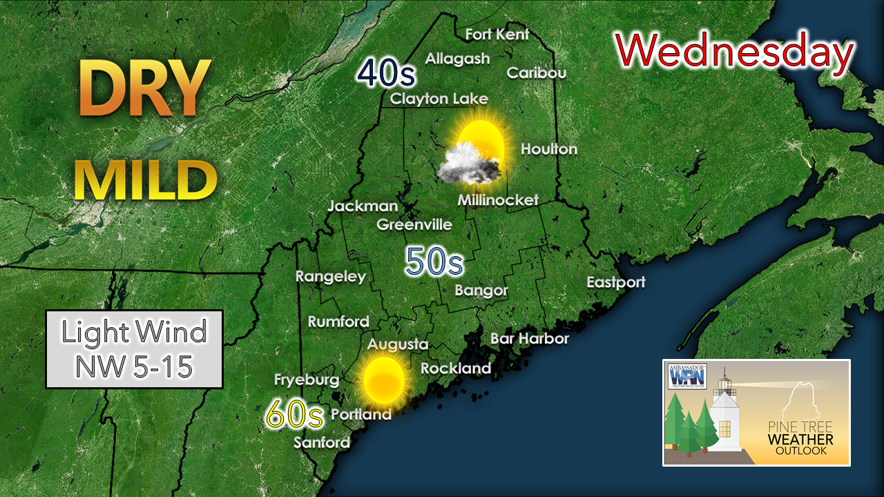 Any early morning showers taper off as the remnants of the upper-level low departs to the east. High pressure moves in for the day, clearing skies over southern areas. A light northwest breeze may freshen the air column from time to time and settles by evening. It appears to be a bit cool for the north country around the Allagash, and warmer to the south and east. Overall, it's not too shabby for October 20th. Light shower activity possible for Thursday and Friday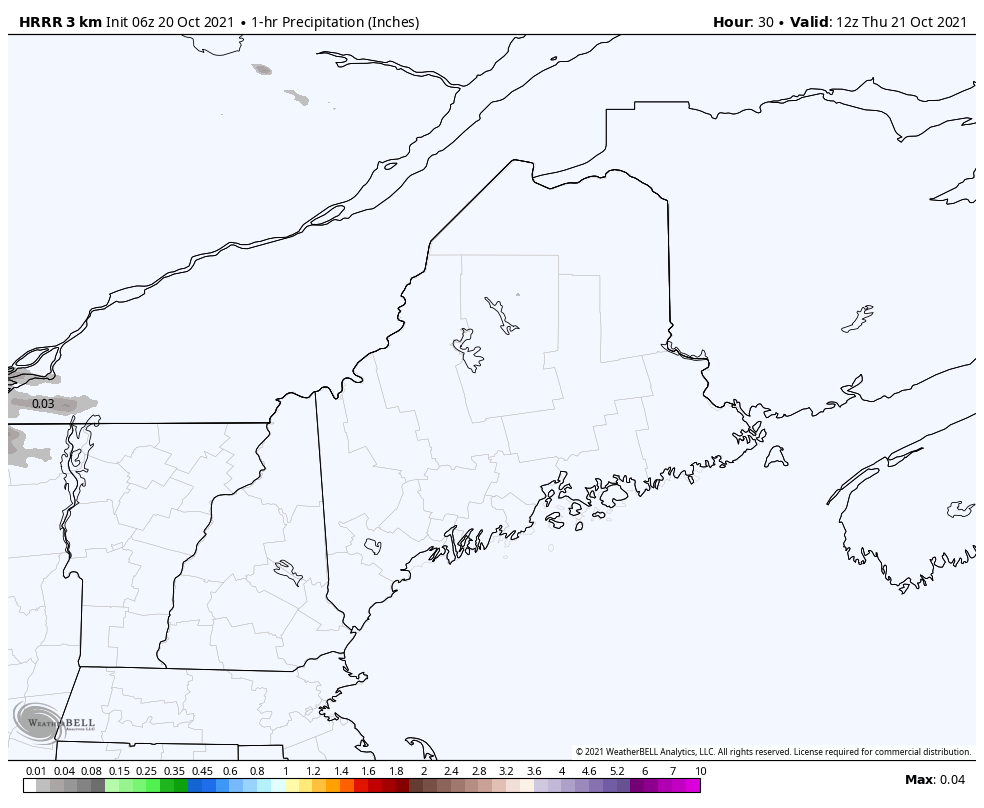 Thursday 8 AM - Friday Midnight: Low pressure organizes along the Great Lakes and moves a warm front into the region on Thursday. Light showers / sprinkles are possible as the low moves into Quebec during the day, primarily over western parts of the state, with a slight chance for eastern and northern areas. Southern areas appear dry. 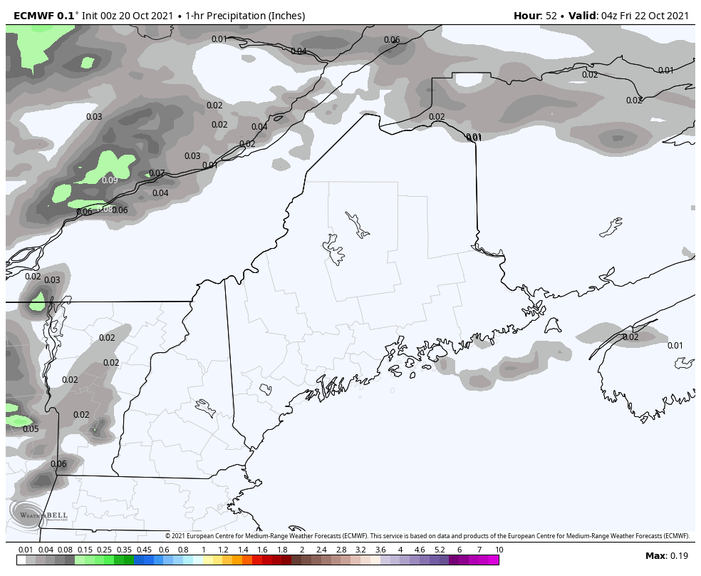 Friday Midnight - 8 PM: A cold front approaches the region. Most of the shower activity appears to occur in the morning associated with the prefrontal trough. The cold front itself passes through Friday afternoon with little moisture associated with it. It will be a bit breezy with the southerly air flow ahead of the front, and then from the northwest on the backside of the cold front heading into Friday night, settling by Saturday morning. Weekend outlook: unsettled, but mainly dry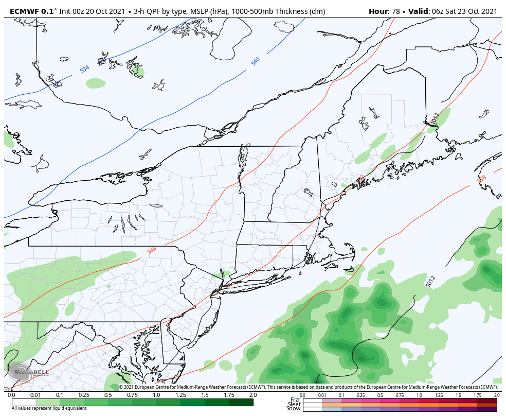 Saturday 2 AM - Sunday 8 PM: The cold front appears to move far enough to the southeast by Saturday to keep rain associated with low pressure forming along it offshore, with just a slight risk of a shower / sprinkle for eastern areas. The region is caught in the crosshairs of cold to the north and the warmth of the south. Waves of upper-level energy are on track to pass through the region as colder air gradually moves southeast and will bring varying amounts of clouds with a risk of a light rain or snow shower over the mountains through Sunday.  Temperature outlook through MondayFor those still growing vegetables, your time is running out. If you have anything left to harvest, this is the weekend to do it. The first widespread frost and perhaps a freeze is possible to start next week. How close to the shorelines is still to be determined. 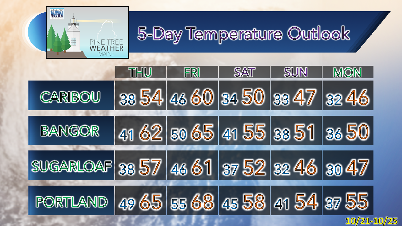 Be prepared to receive alerts and stay updated!
 For more information in between posts, please follow Pine Tree Weather on Facebook and Twitter.
Thank you for supporting this community-based weather information source which operates by reader supported financial contributions. Stay updated, stay on alert, and stay safe! - Mike |

Mike Haggett
|