Wavy times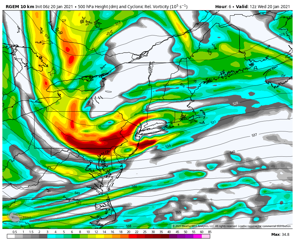 Looks like the Tuesday overnight chance for snow busted out, which I stated yesterday it could. There was enough dry air around to eat up anything that happened to fall aloft. That could be the case today as well. With these zonal moisture starved waves, which is what you see in the loop above, it is more clouds than anything. The models have been rather progressive with ideas. What was looking to be more of a light snow threat Thursday has pushed back to Friday. For most areas, it does not appear to be that big of a deal. The higher ski hills should get a few bonus inches between now and the weekend with this sort of pattern. 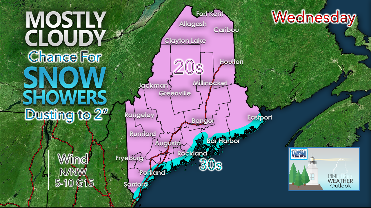 The best chance for snow for Wednesday appears to be for the mountains. For elsewhere, it all depends on moisture levels. It could spit snow at times, with little to no accumulation. Temperatures are running close to average for the highs of the day. When does the next widespread storm come?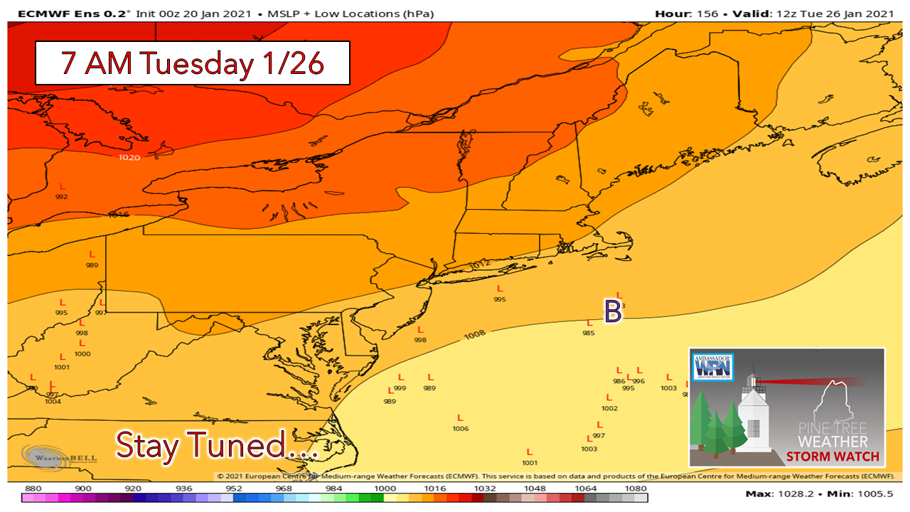 For those who have been following along this week, I have been presenting ensemble ideas to show the bigger picture beyond the typical deterministic ideas that get spread around on social media. Where the one trick pony deterministics show one hard outcome, at long range those have the ability to bust as time progresses. In this case, the idea of a storm affecting Maine early next week appears unlikely, but with the range a week out, it's still early to dismiss it. The European ensemble idea above indicates any storm that forms has a better chance of staying south of the region. High pressure moving in over the weekend appears that it could be strong enough to steer away any storm of significance at this point. 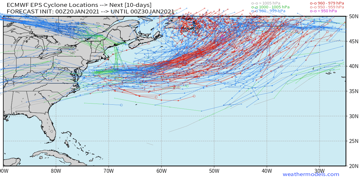 Looking at potential storm tracks of those ensemble members over the next 10 days indicates a similar idea. The MidAtlantic and possibly Southern New England could see some activity. Further north, the idea for now is not much for the most part. Important to note that the north end of the tracks flirt with the benchmark 40° N / 70° W point, so the chance remains for something for the coast. 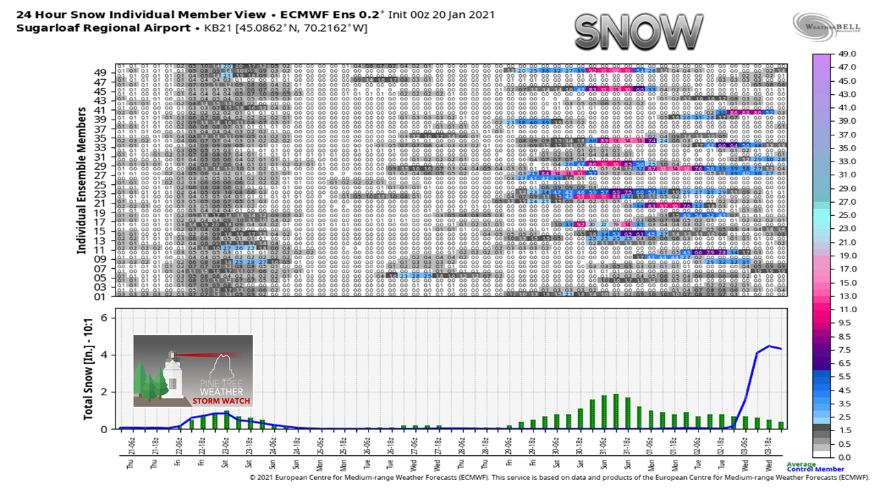 Looking at snowfall potential shows the chance for snow for the mountains Friday rather well. After that, its sketchy. Time will tell if there is any truth to the noise of the ideas presented for next weekend. Again, given the timeframe, I would not write off the idea just yet for snow next week. While it appears doubtful from the data presented here, that can change later on in the week. Stay tuned. Temperature outlook through TuesdayWhile it looks cold, temperatures compared to seasonal averages are still running generally warmer. The average low up north is 0°, for the south 10°. Average high is around 20° north and 30° south. 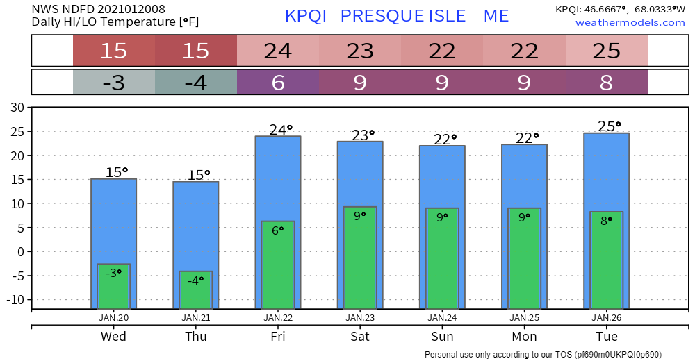 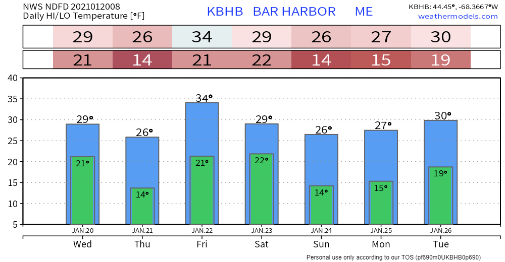 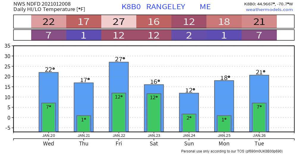 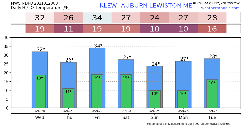 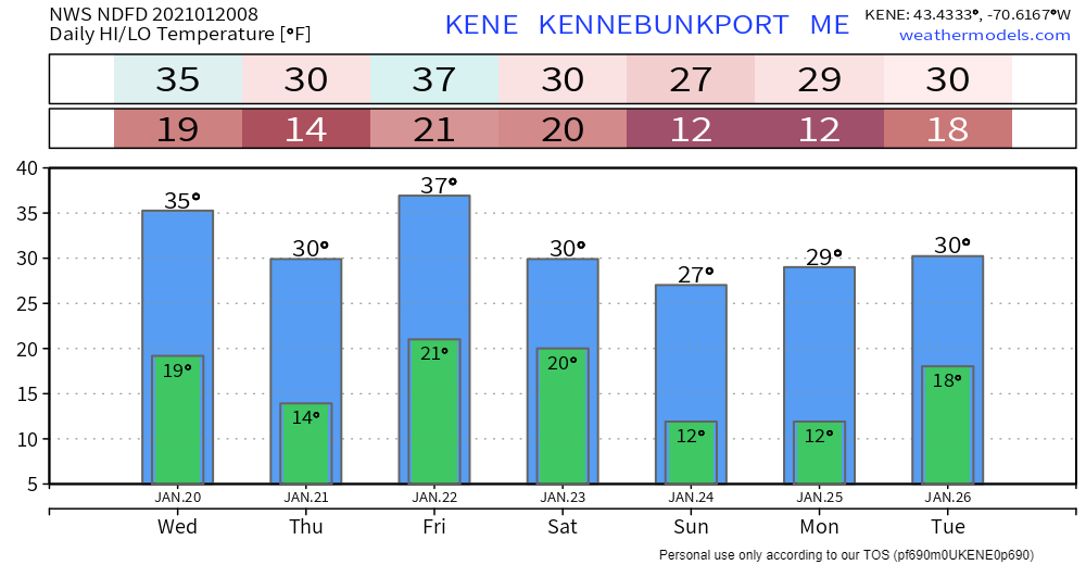 Be prepared to receive alerts and stay updated!
For more information in between posts,
please follow Pine Tree Weather on Facebook and Twitter. Thank you for supporting this community based weather information source operates by financial contributions. Stay updated, stay on alert, and stay safe! - Mike |

Mike Haggett
|