
One more day of wet weather before an extended break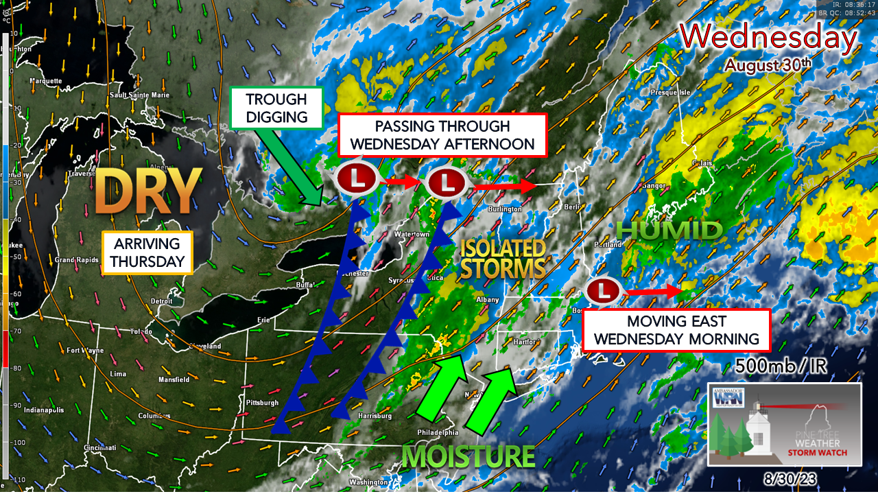 For the record, guidance ideas are still a bit messy. The predecessor rain event I have discussed in updates previously tends to fool models a bit. Given the fact there are two strong tropical systems, a strong upper-level jet curving around a sharp trough that is digging, along with a stark difference in dew points within a hundred miles of the frontal boundary, there is all kinds of room for model error here. What you need to know is this. Anytime there is tropical influence around there is always the chance for a few surprises. While analyzing the dynamics here over the past several days, my main concern is for potential for strong to severe storms to develop over southern and western areas in the afternoon. There is a concern for damaging wind. I don't expect a watch to be issued. The old adage of when thunder roars, head indoors is in play here. With as much juice that is in the atmosphere above the region, along with ample wind shear, there is the risk of storms. Regardless of if the sun comes out or not, the risk of thunder is there. If the sun does pop out for a time, that is an indicator that strong to severe storms to pop. 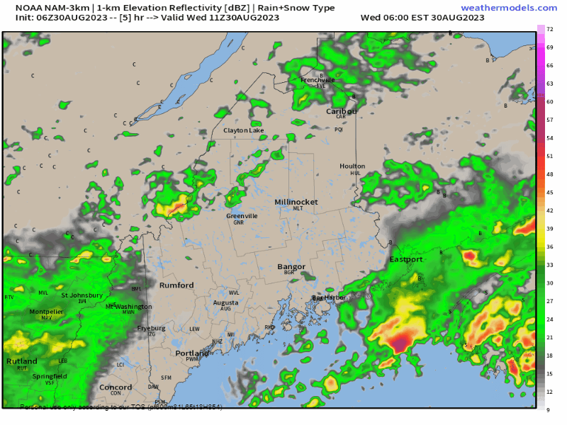 Wednesday 6 AM to Thursday Midnight - This is one model idea here that I do not profess to be bang on, but it does articulate the passage of the two frontal boundaries that are expected to pass through Wednesday afternoon. Where there are breaks in rainfall, there is the chance the sun will come out. When the sun comes out, the thunder guns come out. Along with the strong to severe storm risk, there is potential for training / back building of heavy rain. While the frontal boundaries are progressive and pass through quickly, the training potential may cause some localized flash flooding. The dynamics are in place for efficient rain to fall given the high precipitable water values indicated by dew points. Rainfall rates could be excessive in isolated areas where training occurs. I do not expect a flood watch, there is a chance for a localized flood advisory pending on how this plays out. As far as rain totals go, I expect a general ½-1" for most of the region. MidCoast, DownEast and the mountains have the best chance to go higher. Isolated areas could get 2"+ if training occurs. The bottom line here is to stay on alert, and take action when thunder is heard. Have multiple ways to receive alerts and seek shelter when necessary. Be aware of surf!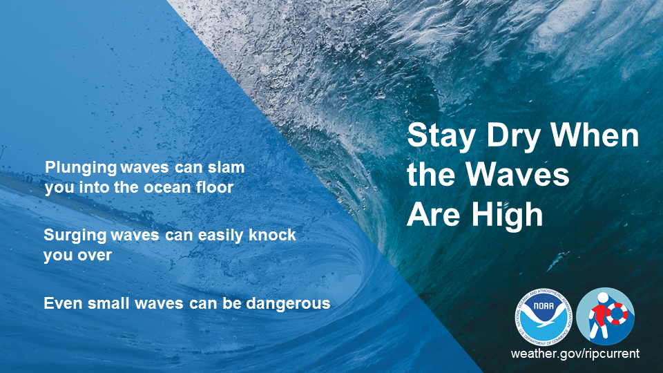 Plunging waves are the most dangerous type of breaking waves. With a lot of force, they can easily slam your body into the ocean floor. Many spinal and head injuries are caused this way. Surging waves can also be dangerous, as they can easily knock both children and adults over as they rush up and back down the beach. Even small waves can be dangerous. Remember, Stay Dry When Waves Are High! weather.gov/safety/beachhazards Pine Tree Weather is funded from followers like you. I would appreciate your financial support. Click here for how you can contribute. You may not like the weather, but I hope you like what I do, and support my efforts. Thank you! Stay updated, stay on alert, and stay safe! - Mike NOTE: The forecast information depicted on this platform is for general information purposes only for the public and is not designed or intended for commercial use. For those seeking pinpoint weather information for business operations, you should use a private sector source. For information about where to find commercial forecasters to assist your business, please message me and I will be happy to help you. |

Mike Haggett
|


