
A bit of snow, ice, and rain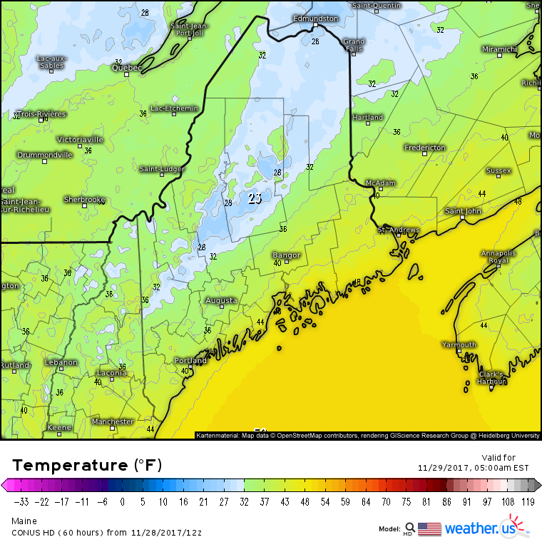 It is the season for models to struggle with cold air, and trying to find charts to emulate what is likely to happen is a struggle since they are misreading what is going on. As I mentioned on the Pine Tree Weather Facebook page this morning, the western foothills on up to southern Aroostook should be prepare for a light glaze in areas early Wednesday morning. 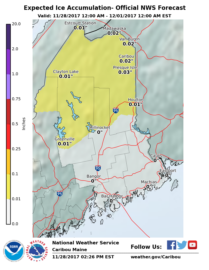 The north country is likely to see the most icing, and it won't be much. 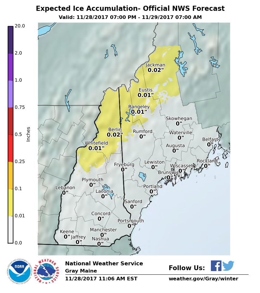 The ice threat tails off to be primarily a mountain threat for western areas, but I caution anyone living in the western foothills to around Dover-Foxcroft up to the south end of The County to be aware of slick areas for the morning drive. 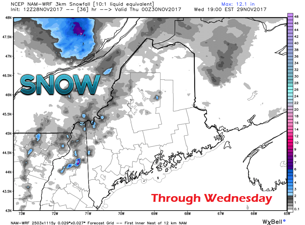 With the ice comes a bit of snow for interior areas to consider. While this model idea does not depict a whole lot of accumulation, a bit of ice with a bit of snow on top of it is all it will take to cause slide-offs and accidents. Southern and eastern areas are likely to get a bit of rain out this, likely a better chance for Bangor / DownEast with less of a chance for Augusta / Portland southward. Some places may not get anything out of this. 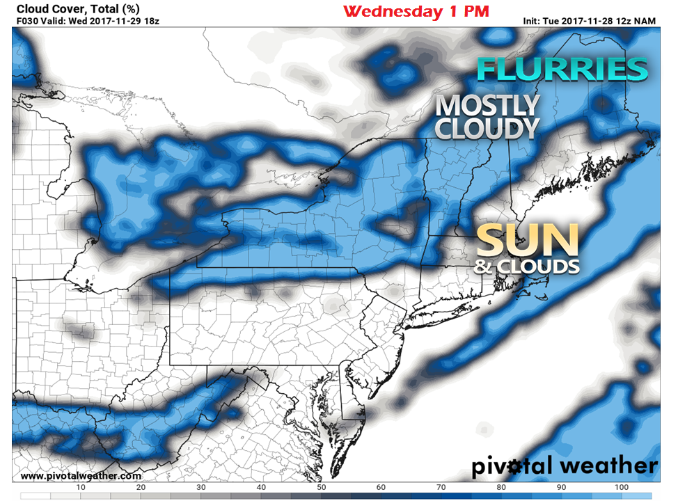 By around midday, sun is likely to come out over much of the south and east, with clouds being persistent in the north and mountains. There is a chance for some flurries for the north country with upslope wind from the northwest through the remainder of the afternoon. 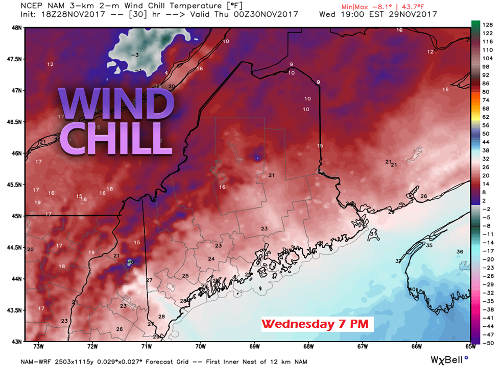 By Wednesday evening, the west / northwest wind speeds up behind the front, and temperatures drop. Wind chill values in the upper single digits to teens for the north and low to the low to mid-20s for the coast. High pressure returns for Thursday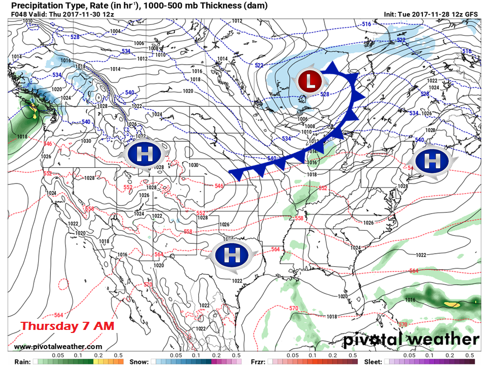 As high pressure moves in Wednesday night, the breeze drops by Thursday morning. High pressure makes a brief visit, and slides eastward during the day. A southwest flow develops ahead of a cold front sweeping across the Great Lakes. Clouds will increase during the afternoon, and precipitation is expected to arrive over western areas late Thursday night. Another mixed event for Friday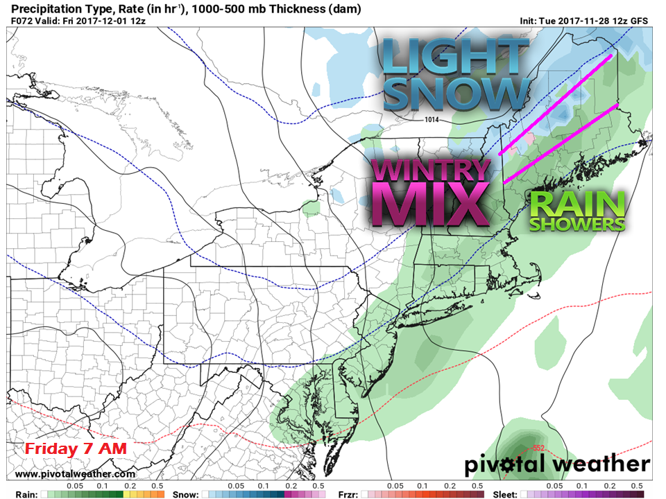 This system is similar to the characteristics of Wednesday's event, but appears to have a bit more juice to it. The mountains and north country could see a couple of inches of snow in areas or more from this front. Early commuters may have to deal with snow / wintry mix event yet again for the western foothills on over to Southern Aroostook. This will affect the region through the morning, ending by mid to late morning for southern areas, DownEast by mid-afternoon. Flurries may once again be persistent over the north country through the afternoon. A quiet weekend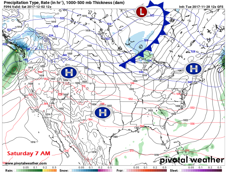 By Saturday morning, high pressure settles in once again, and appears to hang around a bit longer this time. A weak front slides through north central Canada, but runs out of moisture as it heads eastward.
Temperatures appear to run around their seasonal norms over the weekend. The Five-Day Outlook page has been updated, you can click on the tab above to get you there. - Mike |

Mike Haggett
|


