Pine Tree Weather
  • DISCUSSIONS
  • DONATE
  • WEATHER WALL
  • MAPS
  • RAIN OUTLOOK
  • SNOW / ICE OUTLOOK
  • SEVERE
  • MARINE
  • CPC OUTLOOK
  • Kennebunk
  • MY BIO
  • PTW IN MEDIA
  • OBSERVING WEATHER
  • INTERNSHIPS
  • INTERN ALUMNI
  • DISCUSSIONS
  • DONATE
  • WEATHER WALL
  • MAPS
  • RAIN OUTLOOK
  • SNOW / ICE OUTLOOK
  • SEVERE
  • MARINE
  • CPC OUTLOOK
  • Kennebunk
  • MY BIO
  • PTW IN MEDIA
  • OBSERVING WEATHER
  • INTERNSHIPS
  • INTERN ALUMNI

Wednesday December 27, 2023

12/27/2023

Comments


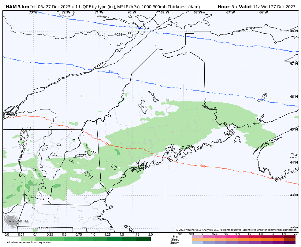
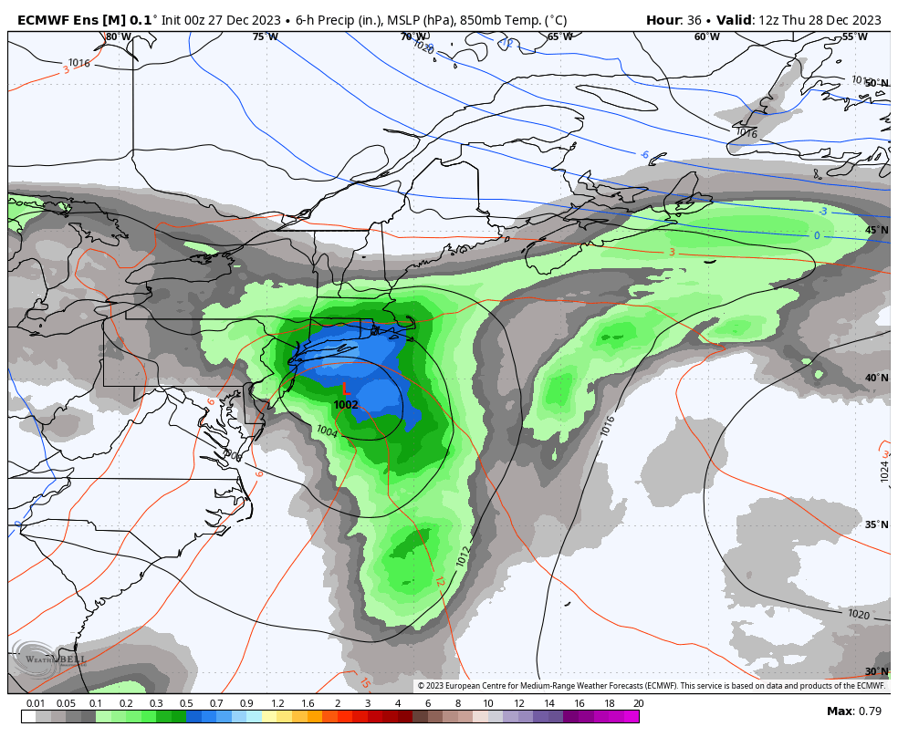
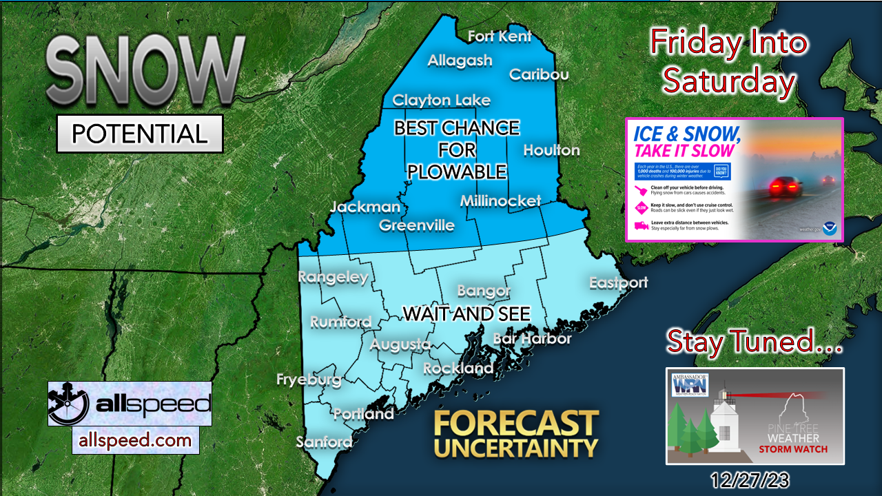
As the cut-off low goes, so does the potential outcome through Saturday

Picture
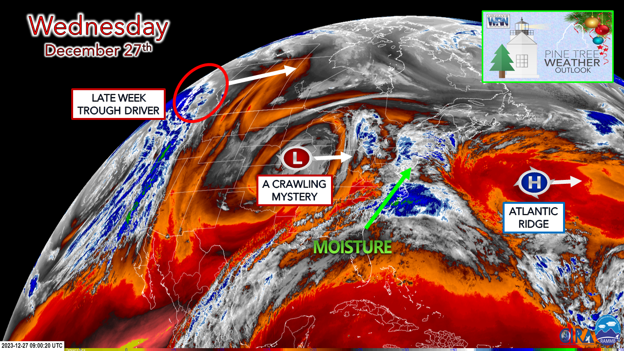
Cut-off upper lows have a mind of their own. Guidance tries to force them do things, but like a stubborn horse, they kick back, smile, and snort with a snarky chuckle. This feature will wander around the atmospheric pasture through Friday before being absorbed by a developing trough that enters the region on Saturday.  While the idea of an unsettled pattern with rain, freezing rain, and some snow are a certainty, how impactful it will be is a bit of a mystery as we round out the rest of 2023. 

An unsettled day with a potential for a bit of ice
overnight over the interior

Picture
Wednesday 6 AM to Thursday 6 AM - Where there is some certainty is a stationary front has set up shop over the area. It's a bit further south. The tricky part of this comes in the evening when cold air begins to bleed in from the north which will bring the risk of freezing rain to the higher elevations and perhaps a few valleys depending on how the drain pipe works. 

For the region to the south of the front, off and on showers with areas of drizzle and fog will be the rule through the day and into the night. Precipitation tapers off toward Thursday morning,

Unsettled through Saturday with potential
​for some ice and snow

Picture
Thursday 7 AM to Sunday 7 AM -  Low pressure off Long Island heads to the east. After some morning showers of the south, the forecast becomes a bit more uncertain as the cut-off low continues to slowly move to the east.  Cold air to the north is just waiting for enough of a kick to drop into the region. When that arrives and where dictates what precipitation type occurs and how much.  With the ridge moving east, that opens up the door for disturbances to ride along it as the upper trough gets its act together and enter into the region later in the day on Friday and into Saturday. 

While the confidence is there with first area of low pressure that passes offshore on Thursday, what happens with the trailing disturbances is where uncertainty rises Friday into Saturday. The variables all come with the timing of the cut-off low being absorbed into the trough. 
Picture
There is the signal of some level of icing. The start time after noon is still to be determined along with how long it will go for into Friday night into early Saturday. At this point I don't expect that this will be a big deal outside of some slick roads and untreated surfaces. There are ideas out there of potential for ¼" of accretion in some areas. Time will tell how much cold air funnels in and how warm the air is aloft for ice to generate. 
Picture
Then there is snow potential. Northern areas have the best chance at this point. All areas are likely to see some snow out of this. Southern areas may escape with some flakes, the rest of the area is still to be determined. 

Stay tuned. 

You are reading this as the result of the generosity
​of others before you

Picture

Thank you to Allspeed Cyclery & Snow in Portland, Downeast Aerial Photography in Rockland, Dutch Elm Golf Club in Arundel,
and Sunrise Property Services in Bridgton, for partnering with Pine Tree Weather.

Special thanks to all the individuals who financially contribute.
​I sincerely appreciate your support. 


Stay updated, stay on alert, and stay safe!

- Mike

PRINT MEDIA: Feel free to quote and cite my work here for your stories. Please give me the professional courtesy of knowing that you are referencing my material so I can read your final product and acknowledge it on my media and link it on the Who I Am page here on the website. Feel free to send me a message via the Facebook page or Twitter (X) to get my phone number if necessary. Thank you! ​

​​NOTE: The forecast information depicted on this platform is for general information purposes only for the public and is not designed or intended for commercial use. For those seeking pinpoint weather information for business operations, you should use a private sector source. For information about where to find commercial forecasters to assist your business, please message me and I will be happy to help you.

Comments
    Picture

    Mike Haggett
    Kennebunk, ME

    Weather-Ready Nation
    Ambassador

    Certified Weather
    Forecaster
    Penn State '21

    American Meteorological Society

    National Weather Association
    ​
    ​SKYWARN-CWOP

    Matthew 19:26


    DONATE

    Picture
    Picture
    Picture
    Picture
    Picture
    Picture

    Picture

    Picture

    Picture

    Picture

    Picture

    Picture

    Picture

    Picture

    Picture

    Picture

    Picture

    Picture


    Archives

    December 2025
    November 2025
    October 2025
    September 2025
    August 2025
    July 2025
    June 2025
    May 2025
    April 2025
    March 2025
    February 2025
    January 2025
    December 2024
    November 2024
    October 2024
    September 2024
    August 2024
    July 2024
    June 2024
    May 2024
    April 2024
    March 2024
    February 2024
    January 2024
    December 2023
    November 2023
    October 2023
    September 2023
    August 2023
    July 2023
    June 2023
    May 2023
    April 2023
    March 2023
    February 2023
    January 2023
    December 2022
    November 2022
    October 2022
    September 2022
    August 2022
    July 2022
    June 2022
    May 2022
    April 2022
    March 2022
    February 2022
    January 2022
    December 2021
    November 2021
    October 2021
    September 2021
    August 2021
    July 2021
    June 2021
    May 2021
    April 2021
    March 2021
    February 2021
    January 2021
    December 2020
    November 2020
    October 2020
    September 2020
    August 2020
    July 2020
    June 2020
    May 2020
    April 2020
    March 2020
    February 2020
    January 2020
    December 2019
    November 2019
    October 2019
    September 2019
    August 2019
    July 2019
    June 2019
    May 2019
    April 2019
    March 2019
    February 2019
    January 2019
    December 2018
    November 2018
    October 2018
    September 2018
    August 2018
    July 2018
    June 2018
    May 2018
    April 2018
    March 2018
    February 2018
    January 2018
    December 2017
    November 2017
    October 2017

Proudly powered by Weebly