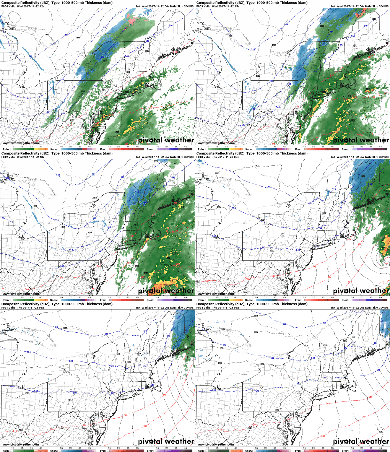
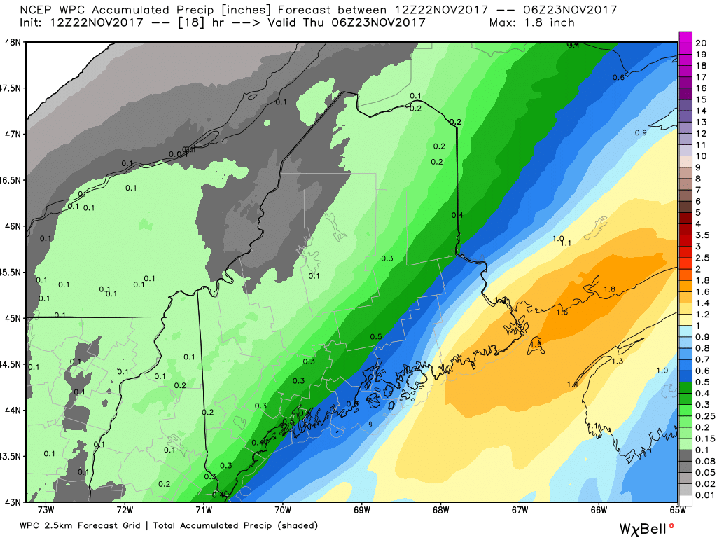
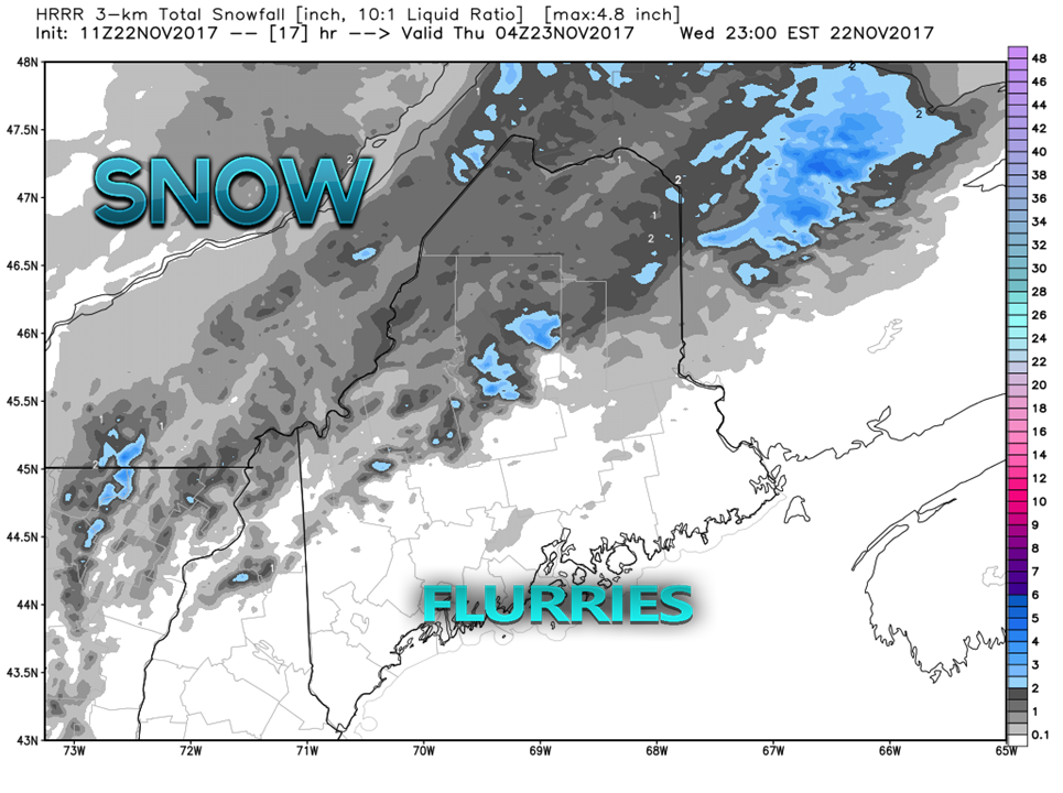
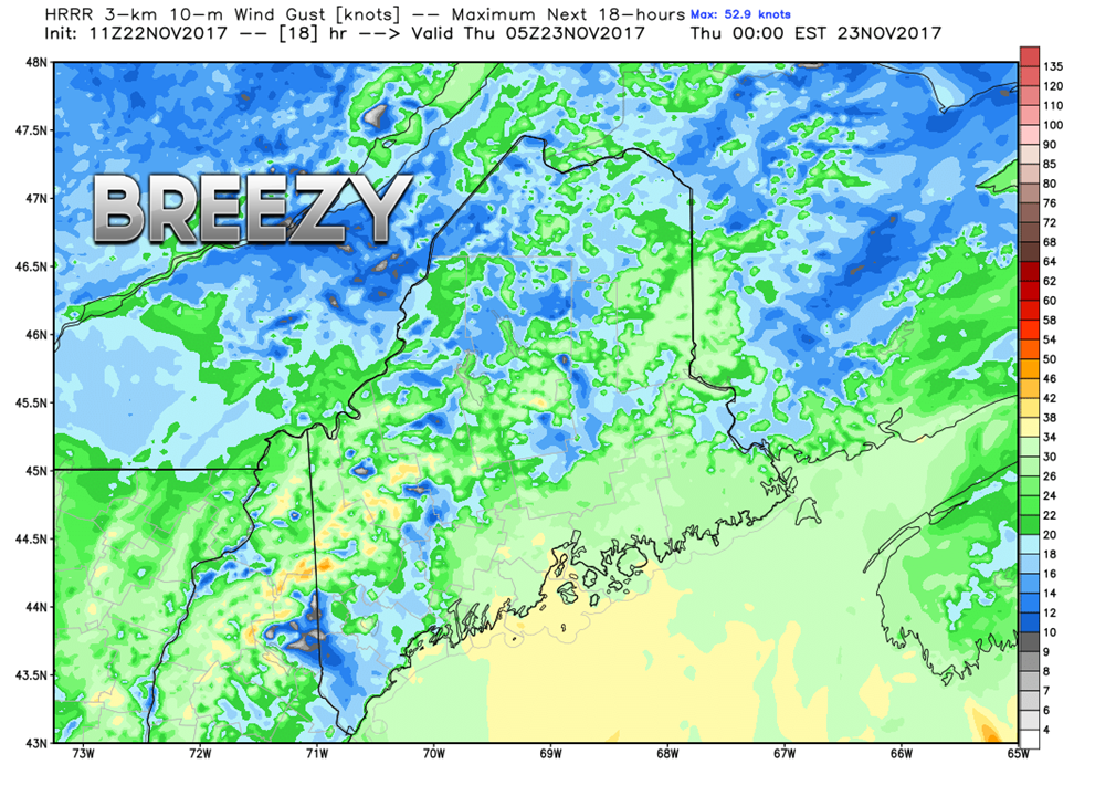
Rain and snow showers through the dayThe phasing between the cold front and low pressure forming along it has proven to be later in coming together. As a result, the region will see rain come in and depart later than predicted Tuesday afternoon. Western and southern areas see showers taper off by around rush hour this evening. The last of the shower activity ends over eastern and northern areas by around midnight. Given the cold temperatures to start off the day, the foothills and mountains on up through northern areas may see a period of freezing rain in well protected areas. I am not expecting widespread travel concerns for the ice. Most, if not all areas will rise above freezing by mid to late morning. Estimated total liquid equivalent from the storm continues to favor higher amounts over eastern areas. Snowfall estimates favor highest amounts for the higher elevations. Areas in Aroostook County could see an inch or two by the time this ends later tonight. Southern and eastern zones may see flurries on the back side of the front, but any accumulation is for most, minimal. Wind out of the south shifting to the northwest is still on track to be breezy at times during the day. Wind gusts in the 20-30 mph range with gusts to 40 mph for the higher elevations are possible through the evening. Isolated power outages are possible.
Be safe as you travel today! - Mike |
Mike Haggett
|


