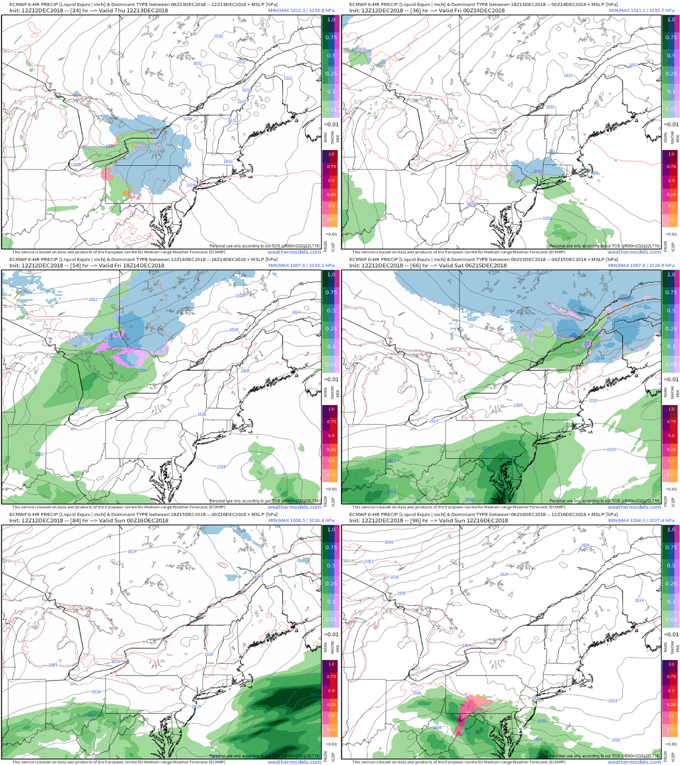
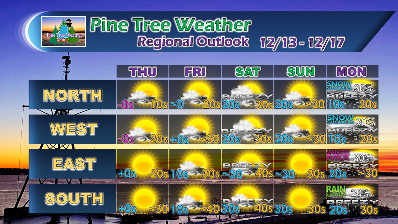
Bulk of liquid to stay southAfter a dry, but chilly rest of the week, a weak warm front noses into the region Friday night which may bring a touch of mixed precipitation or light rain to northern and western areas. What was once a potentially damaging rain event for the snow pack of the region appears to be a miss. High pressure racing eastward blocks an approaching storm from the Mid-Atlantic and guides heavy rain out to sea to the south on Saturday. Temperatures will climb above seasonal norms for Saturday before settling back to near average for Sunday Outlook through MondayNorthern and western areas may see an early morning mix or rain shower, but any precipitation appears to dissipate soon after sunrise. It will be a breezy day, but warm. A weak cold front slides through Saturday night which brings cooler conditions for Sunday. Our next concern comes in the form of the timing of a coastal storm and an approaching cold front Monday into Tuesday. Stay tuned.
For the latest official forecasts, bulletins and advisories, please check in with the National Weather Service in Gray for western and southern areas, or Caribou for northern and eastern parts of Maine. Please consider making a donation to keep Pine Tree Weather going through the year ahead. My data cost expense is increasing. The operation is 90% funded and needs your help to get through the winter. You can set up a monthly pledge on my Patreon page or send me a message from the Facebook page or direct message on Twitter to get my address to mail a check. For more information from me, please follow the Pine Tree Weather Facebook page and my Twitter feed. Always stay weather aware, and thank you for your support! - Mike |
Mike Haggett
|


