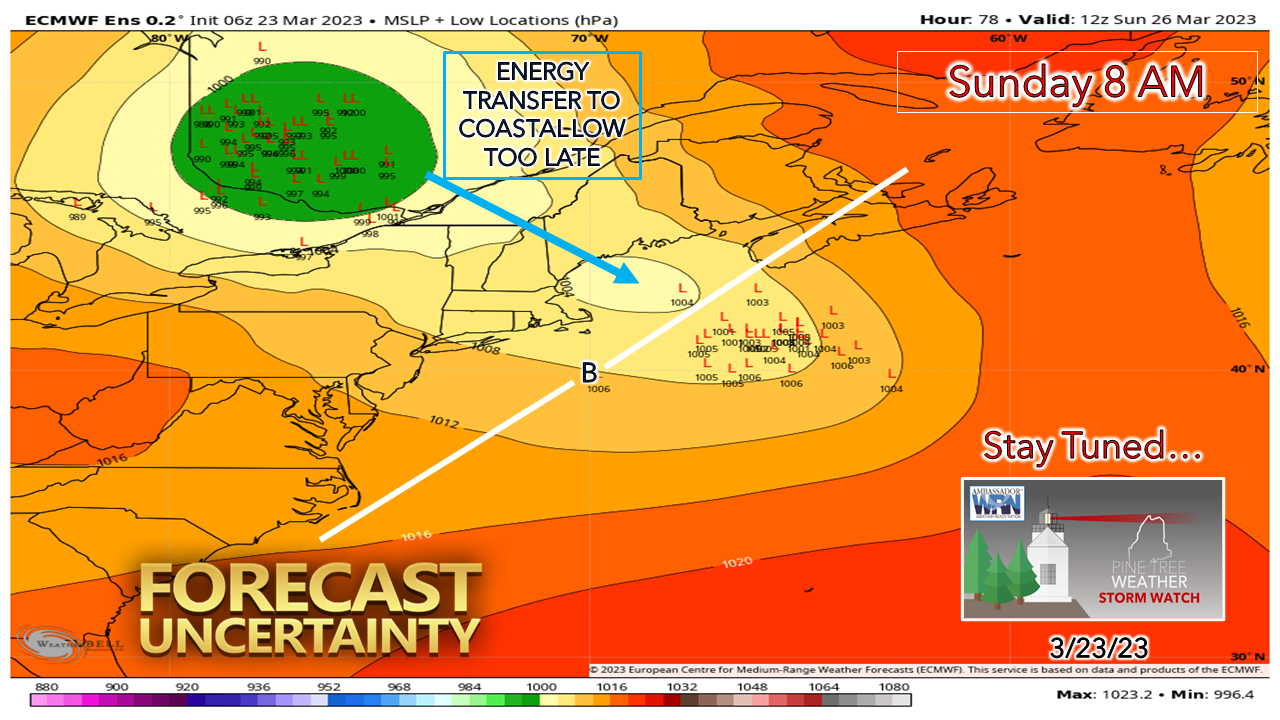
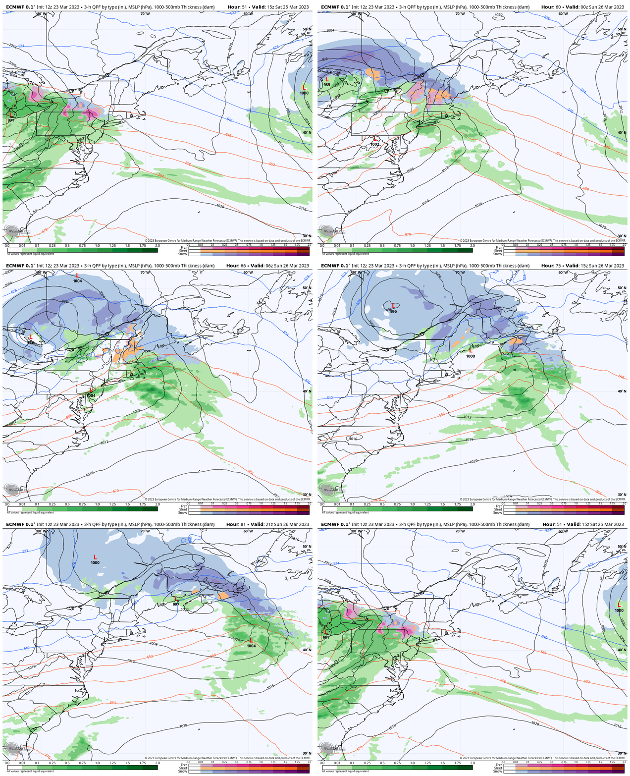
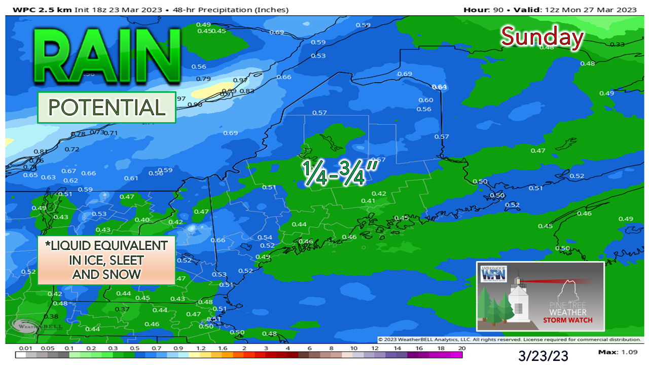
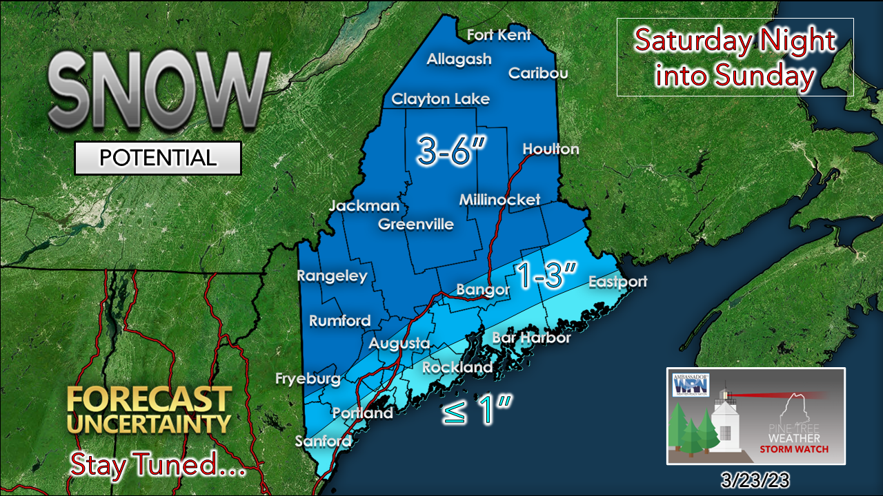
Coastal low energy transfer may be too lateThe ideas presented by guidance overnight and into Thursday morning have modified considerably. I mentioned in Wednesday's post that the timing of the energy transfer of the parent low over western Quebec to the developing coastal low would be key. Guidance is less bullish on that happening in time, and as a result, less snow is expected. Saturday 11 AM to Sunday 11 PM - The transfer of energy from the parent low to the coastal low may not happen until Sunday morning, and as a result, the region that may see the most impact from that would be in the north. On Saturday it is expected to be dry until late afternoon over southwestern areas. Precipitation spreads over the state Saturday night into the wee hours of Sunday morning. Snow may change to sleet and/or light freezing rain before changing to rain over the southwestern interior, western mountains and foothills, ending Sunday morning. Northern areas see snow through the day. Eastern areas see snow change to rain Sunday morning. Coastal areas may see some snow to start Saturday, but it is expected to change to rain Sunday morning. While I expect some wind, temperatures are expected to warm up during the day over most of the region except for the north to clean up any snow that may stick to trees and power lines. The idea of wind gusts may not pick up until the coastal low begins to ramp up late Sunday morning into the afternoon. Wind gusts may reach 25-35 mph. Southwestern areas may see some sun Sunday afternoon, and if so, make snow removal optional. Temperatures are expected to fall below freezing for most areas Sunday night. This idea of water content by the Weather Prediction Center shows roughly ½" mean total across much of the state. Some areas will do a bit better than that, others less. The interior areas are expected to see the most snowfall out of this. The trend is going down for now and may go down a bit more depending on the timing of the coastal low development. I will monitor and update here again on Friday. Pine Tree Weather is funded from followers like you. I would appreciate your financial support. Click here for how you can contribute. You may not like the weather, but I hope you like what I do! Please hit the like button on Twitter and Facebook, and share! Stay updated, stay on alert, and stay safe! - Mike NOTE: The forecast information depicted on this platform is for general information purposes only for the public and is not designed or intended for commercial use. For those seeking pinpoint weather information for business operations, you should use a private sector source. For information about where to find commercial forecasters to assist your business, please message me and I will be happy to help you. |
Mike Haggett
|


