
A rough couple of days ahead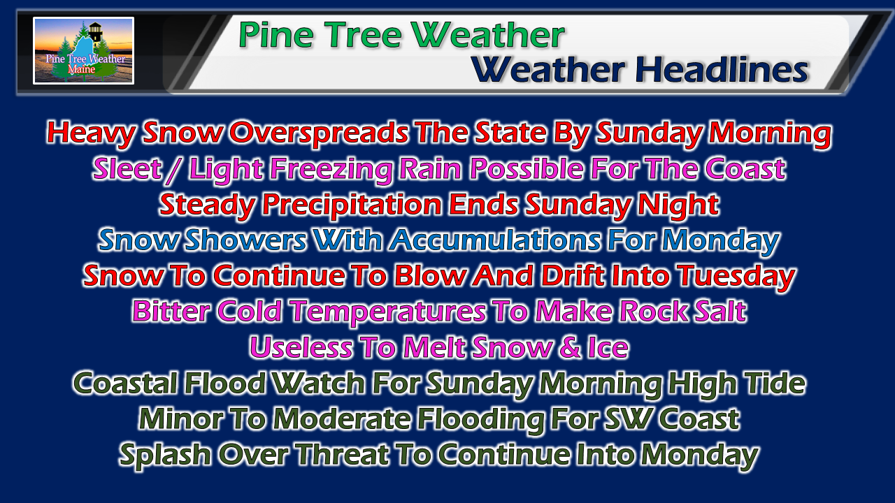 Bitter cold air is settling into the region Saturday morning. This sets the stage for a heavy snow event to impact the region. While the bulk of the snow falls Sunday, snow showers will bring additional accumulation to the snowbanks on Monday. With the bitter cold, standard rock salt will be rendered useless for melting purposes as its value drops considerably below 20°F. Our shorelines will deal with surf, beach erosion and some degree of flooding. The saving grace will be the storm surge and highest impacts are likely to effect low tide Sunday afternoon. With wind, there is always the risk of power outages. Since this will be a fluffy snow, I do not expect any major issues. As gusts increase Sunday morning into the afternoon, whiteout and near blizzard conditions are certainly likely. Here it comes Light snow showers out ahead of the storm may start Saturday afternoon, but the heavier, steadier precipitation holds off until around midnight for southern and western areas. Driving conditions will deteriorate quickly due to rapid accumulation a 1-2" per hour as the snow moves northeastward. By daylight Sunday, 4-8" of snow could already be on the ground over western and southern areas, along with 2-4" for eastern regions. Northern areas see 3-6" by noon, with the rest of the state pushing 8-12". This rapid snowfall will make driving very difficult as road crews are likely to struggle to keep up. The jury is still out on how much sleet will fall along the coastal plain. Guidance is insisting on a warm nose pushing in at the mid-level in the atmosphere which may cause enough melting to create pellets. Questions remain on if a low level coastal front can sneak in and set up a period of light ice for Penobscot Bay / DownEast shorelines. Any warm air working in from the ocean is going to hit a brick wall of cold as temperatures appear to be in the low to mid teens. Strong north/northeast wind will do its job keeping the cold locked in. It all depends on track and just how close low pressure comes to the coastline. Latest snowfall idea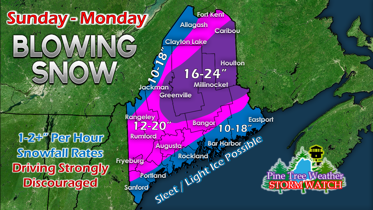 With the projected storm track a bit closer to the coast, I've scaled back accumulations a little, but it's double digits everywhere with this one. This also includes an additional 1-3" possible with snow shower activity Monday.
This storm won't be measured with a ruler on the ground, it will be measured by feet of snow drifts. The wind is going to continue to blow it around into Tuesday. More updates coming. Stay Tuned! For the latest official forecasts, bulletins and advisories, please check in with the National Weather Service in Gray for western and southern areas, or Caribou for northern and eastern parts of Maine. For more information from me, please follow the Pine Tree Weather Facebook page and my Twitter feed. Your financial donations are much appreciated to keep this site funded and for further development. I sincerely appreciate your support not only financially, but also in sharing my efforts with others. Always stay weather aware! - Mike |

Mike Haggett
|


