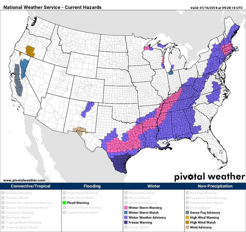
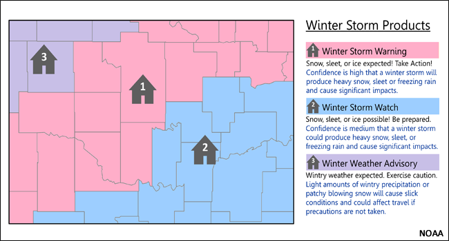
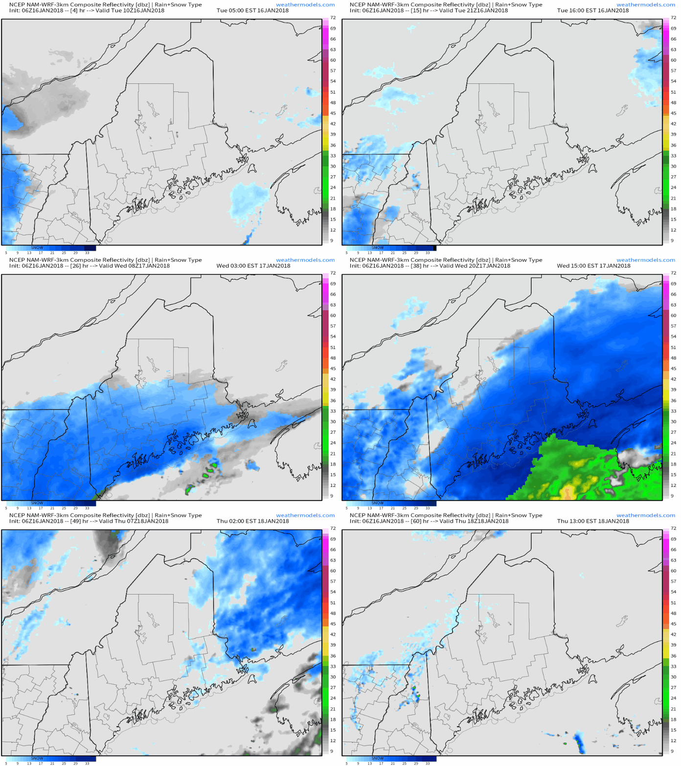
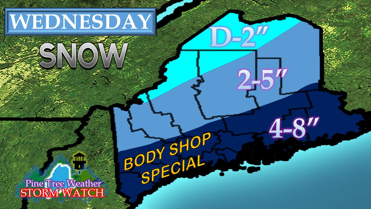
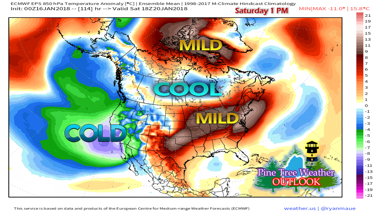
Much of the country affected with this systemWinter weather advisories and warnings stretch all the way to Texas in association with the long wave frontal boundary that is headed toward Maine. As of 5 AM Tuesday, just the southern and eastern areas of Maine are under winter weather advisory. It would be wise to stay in touch with the National Weather Service Gray (west and south) or National Weather Service Caribou (north and east) for any changes or additions to bulletins in regards to this event. Forecast remains on trackThe area can expect some areas of snow showers during the day, but the steadier snow holds off until evening. It will overspread most of the state by Wednesday morning. Snow tapers from southwest to northeast Wednesday night. Snow showers remain in the forecast for the region into Thursday. The snowfall map has been tweaked a hair from the update yesterday. I expect a bit of a mix with rain along the immediate coast from Rockland to Eastport as a coastal front works in, which may cut accumulations down a bit, but I expect the low level warm air to be washed out fairly quickly as low pressure advances into the Bay of Fundy. Warmer times aheadAfter the storm passage, temperatures gradually begin to climb to well above normal temperatures by the weekend. The next widespread precipitation event appears to be in the form of an "inside runner" system which could bring rain to the state in the Monday / Tuesday time frame. The chill of winter returns by the middle part of next week. Pine Tree Weather is now an official |
Mike Haggett
|

